I was thinking the only thing wrong on the route was not cutting across the corner of NM to catch I-25 out of Raton, NM. and enjoy the mountains on the way up.
It is only about 100 miles longer that way and lots to look at.. I did it that way about 6 yrs ago going up..
Griz
Wise decision on your part to avoid I-25 and Denver...even if it means more straight and flat. Raton Pass is a nice ride but not worth everything that follows it on the interstate. Enjoying your thread! Keep them coming!!
Great pics of Devil's Tower. Was there during the rally...went into the park but pics from inside the park are too close to really capture the size...and outside of the park was a shitshow in every direction during the rally. Easy to see why the natives considered it such sacred ground. I live in Colorado and see amazing stuff every day here but that tower still just leaves me speechless every time I see it.
Thanks for the pics and commentary, I love reading along on people's trips. I've got a few trips to post about but have to wait til I have more time in the winter.
Day 6, Sheridan to Red Lodge, MT - 262 Miles (via the Bighorns, Chief Joseph Hwy and Beartooth Pass Hwy)
This day was probably the best overall riding day. We went through some great scenery and the roads were fantastic to ride. Beartooth Pass Hwy is definitely in the top 2 or 3 roads I've ever ridden. If you haven't ridden it, start making plans. You won't regret it.
Here's our route for the day.
Headed out of Sheridan. That's the Interstate in front of us. We had to ride it for about 20 miles up to Hwy 14 which will take us through the Bighorn Mountains.
We're on Hwy 14 now with the Bighorns in front of us.
It was a great ride on this road. I had never been through these mountains which turned out to be a really fun ride.
A look from one of the overlooks. Pretty nice.
Looking the opposite direction from the shot above.
Leaving the mountains headed toward Cody.
Riding into Cody. We stopped for lunch here and also picked up the requisite tee shirt at Buffalo Bill HD. It's a satellite store of Beartooth HD in Billings, MT.
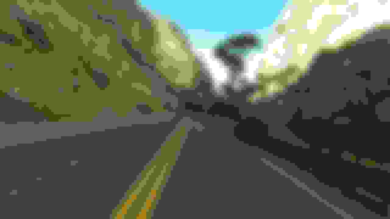
Now we're headed out of Cody on our way to the Chief Joseph Hwy.
Starting up the Chief Joseph road. This was a super nice ride.
Even though we're still on the Chief Joseph Hwy, that's the Bear's Tooth peak in front of us.
A view from one of the pull outs.
Another look from one of the pull outs. This was a nice road.
We turned off of the Chief Joseph Hwy onto Beartooth Pass Hwy. This is just after the turn and we're headed up to the pass.
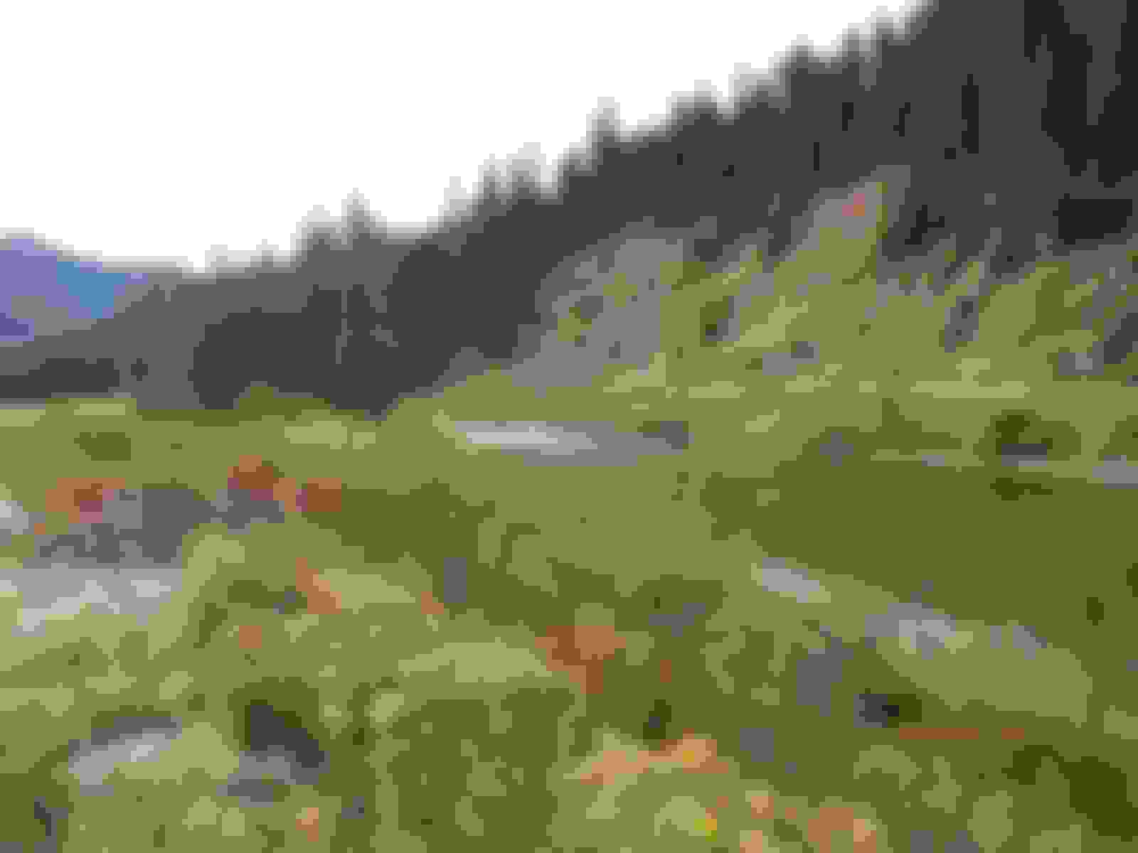
The first part has lots of trees.
One of the early pull out views.
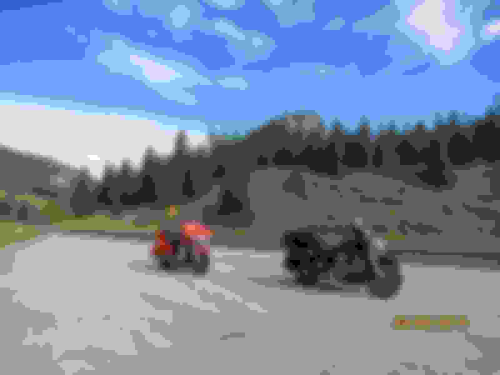
Our bikes at the summit. The summit sign in the background says the elevation is 10,947 feet.
Here's a closer look.
Shortly after the pass we entered Montana, the seventh state of the trip.
That's it for the day. Tomorrow we'll ride back over the pass headed toward Yellowstone. Again, if you haven't ridden Beartooth Pass, start planning on it. It's worth how ever far you have to ride to get there.
Today we rode back over Beartooth Pass into Yellowstone NP. Then down through Grand Teton NP to Jackson for the night. This day was short on mileage but we knew it would be slow going since there weren't any straight roads and there's always a lot of traffic in Yellowstone.
Here's the route for the day.
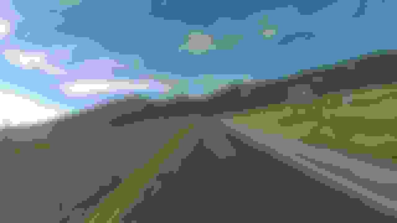
Headed south out of Red Lodge toward the pass.
This road is fantastic. You've got to ride it if you haven't already. (Pardon the bug on the lens.)
We're at the summit looking down the way we're headed.
On the way down the Bear Tooth peak is in view.
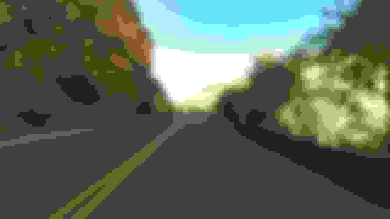
This is headed toward Cooke City after descending the pass.
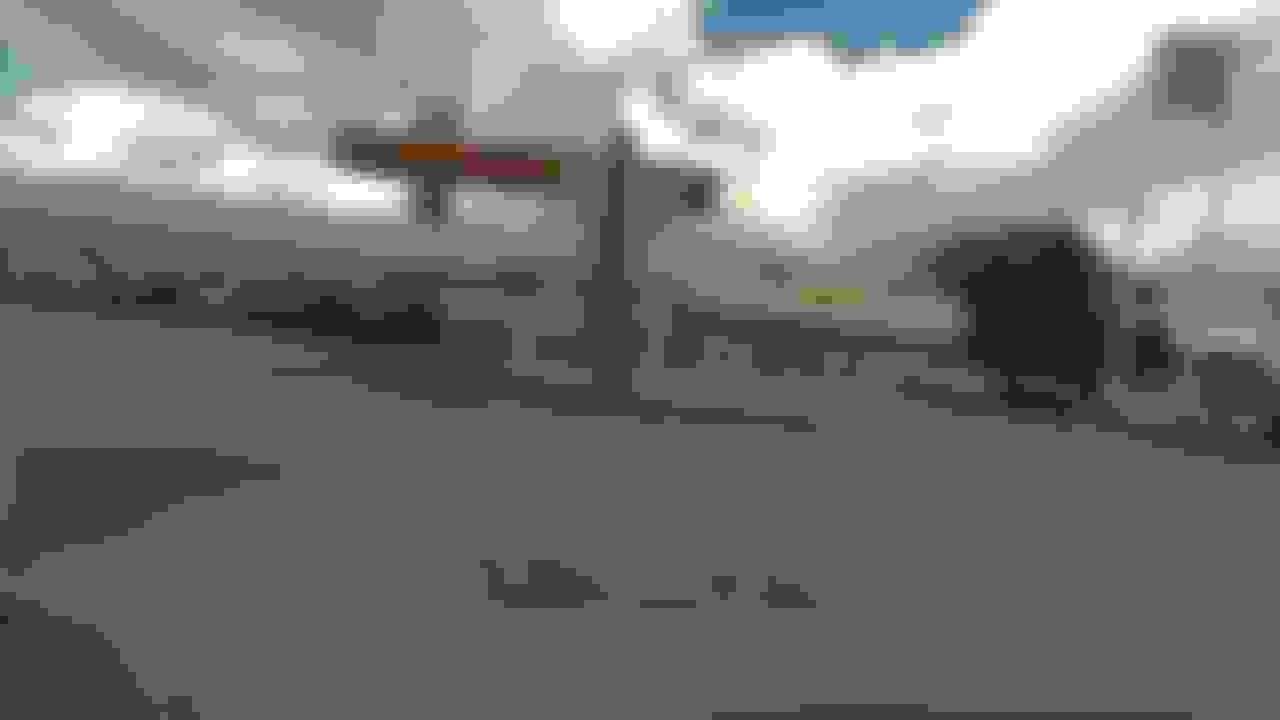
The Visitor Center in Cooke City. It has a small museum and lots of free maps and brochures.
This is looking back up the street in Cooke City. This looks like a neat little town. I'll have to make it an overnight stop the next time I'm in that area.
It's difficult to read but the sign says "Yellowstone NP".
A random shot after entering the park.
We only stopped a couple of times in the park. The first one was at the Lower Falls and the Yellowstone Canyon.
We didn't have a very good vantage point but this is the upper part of the falls.
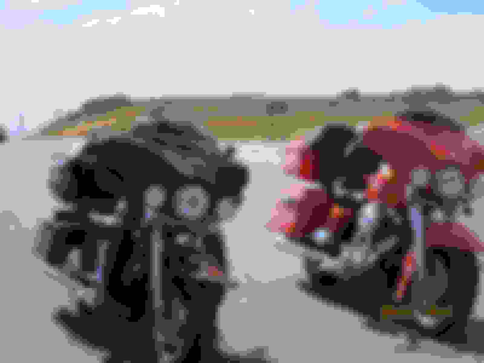
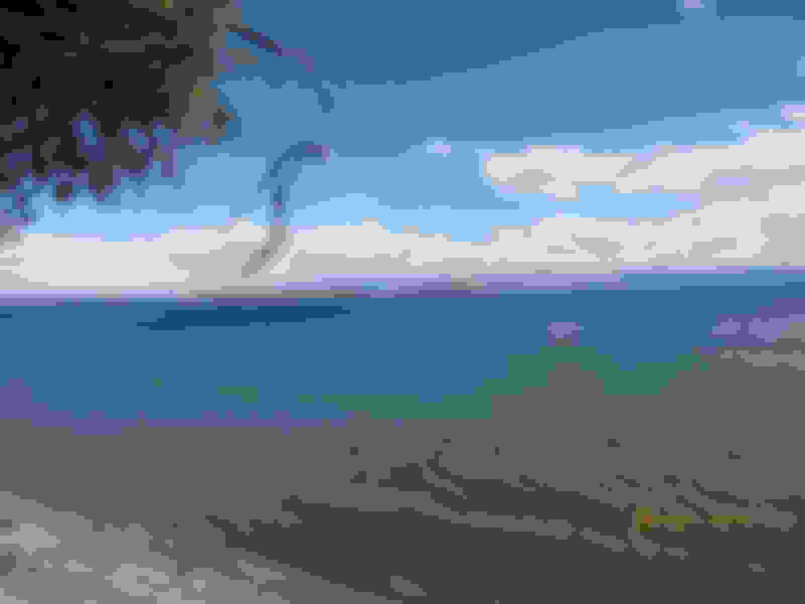
Next stop was at the lake. This is a very large, clear lake.
Our bikes where we stopped by the lake.
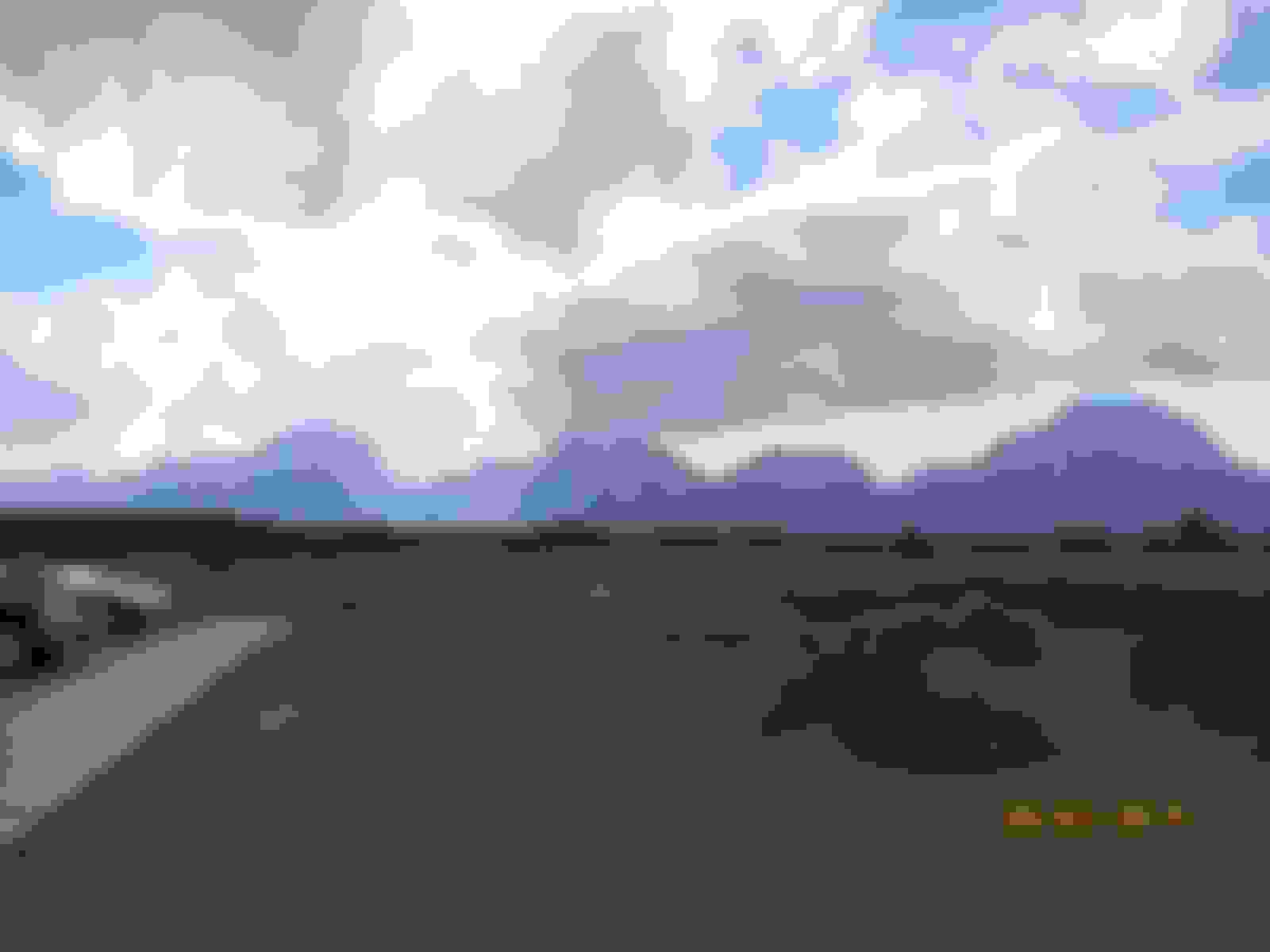
After exiting Yellowstone, the Grand Tetons come into view.
Another shot of the Grand Tetons. These are very rugged looking mountains.
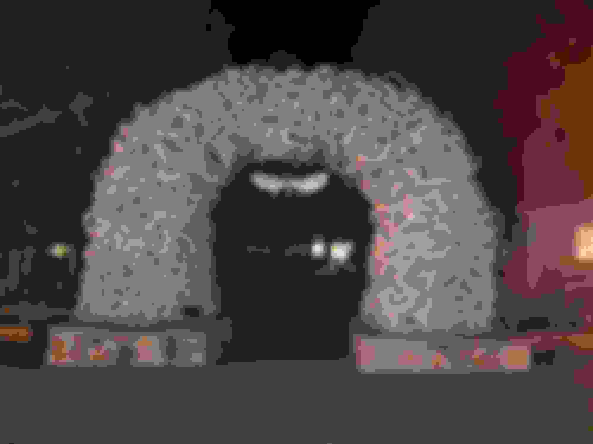
Rolling into Jackson. This is a neat town.
The famed antler arch on the town square.
Well, that's it for the day. We checked into our motel, showered, had a couple of beers. Then we walked over to the Million Dollar Cowboy Steakhouse and had a very good steak.
Tomorrow feels like starting our official ride home. We've been to Colorado many times so it is very familiar. We'll ride down to Steamboat Springs for the night.
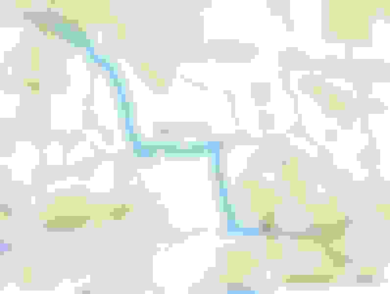
Day 8, Jackson to Steamboat Springs, CO - 391 miles
We had a little longer ride today to get through some mostly flat desolate country. We even rode about 100 miles of hated and dreaded Interstate, but it does let the miles go by in a hurry. Here's our route for the day.
This is just out of Jackson. We're pretty much out of the big mountains for a while. We'll hit some more tomorrow in Colorado.
Soon we entered the Hoback River canyon and followed the river for a little while. This was definitely the best part of today's ride.
A brief stop to get a photo of the river.
Looking the opposite direction along the river.
Opposite side of the road from the river. The mountains are getting smaller now.
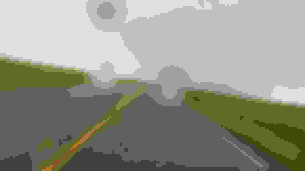
Shortly after we stopped at the river, we had a whole lot of this for the rest of the day.
There were several of these overpasses. There's not a road there, I guess it's for livestock to cross.
At Rock Springs we hit I-80 for a hundred miles. It went by pretty fast though. The speed limit was 80mph so we made short work of it.
When we turned south off of the Interstate, we had about 140 miles to go. Looks like some of them will be wet.
Well we did hit some rain before Craig. No more pics because we didn't stop until Steamboat. At least the rain stopped shortly after arriving there, so we walked downtown to the Mahogany Ridge Brewery for a sample. Tomorrow we'll ride down to Pagosa Springs for the night.
Day 9, Steamboat Springs to Pagosa Springs, CO - 316 miles
Today our ride is totally withing Colorado. It goes pretty much due south through the highest incorporated city in the U.S., Leadville, elevation over 10,000 feet. Here's our route for the day.
Headed out of Steamboat in the morning. It's a nice, cool morning.
The mountains east of Steamboat aren't real rugged, so there's lots of fun sweepers.
The sky always seems to be a deeper blue in the mountains.
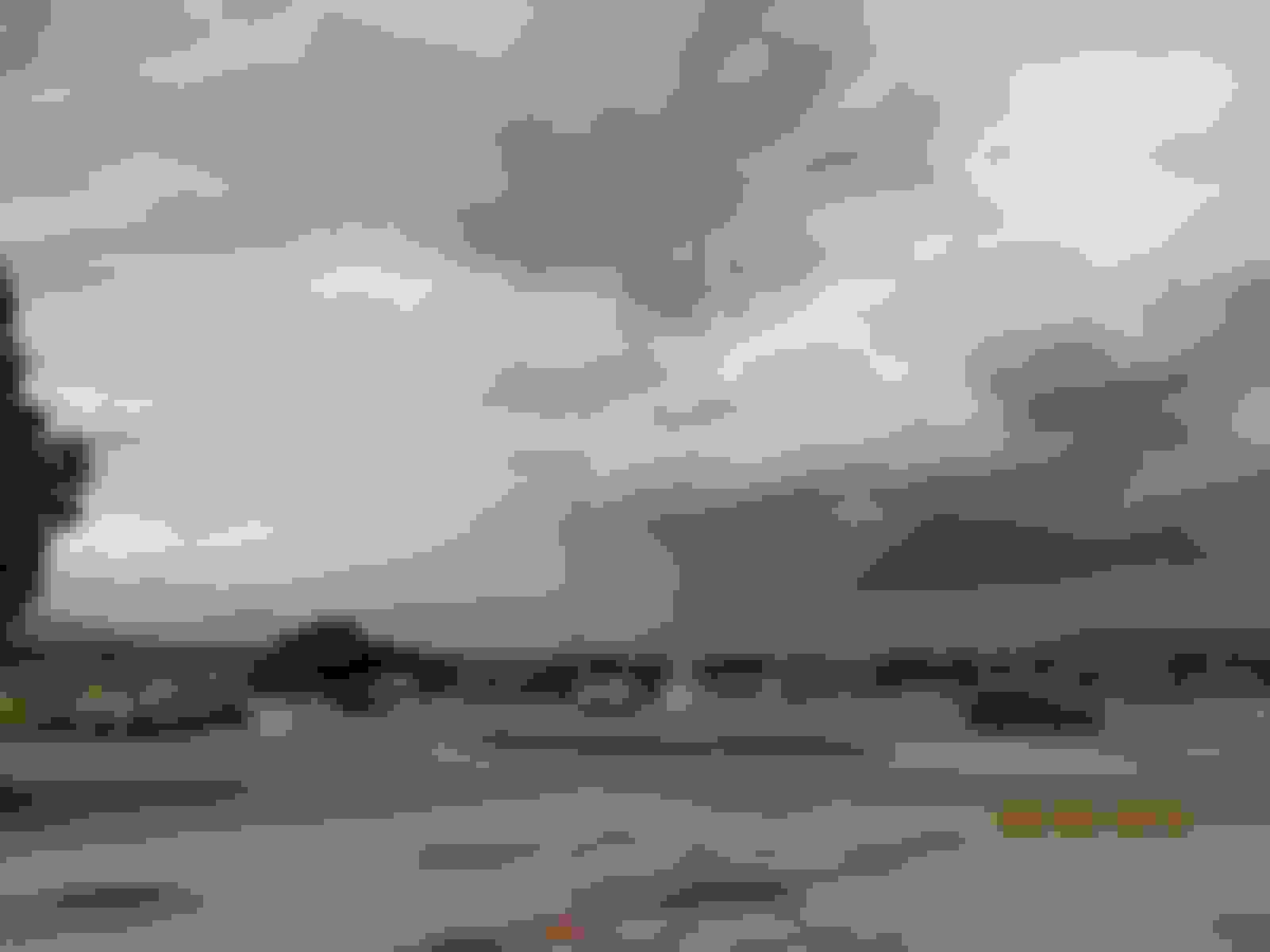
Then we go around one of the corners and see this. Seems like it happened instantly. One minute it's clear and the next it's so foggy we can barley see.
This is pretty thick soup.
The fog finally lifted but it remained cloudy the rest of the day. This is arriving in Kremmling.
This is as we're leaving Kremmling. Looks like it could rain any minute.
We soon hit a construction zone. We had to ride 6 miles of wet dirt.
Finally back on hard pavement but the clouds don't look too promising.
You can see a few sprinkles on my lens here.
I don't remember exactly where this was but we pulled over to put on our rain gear.
This is Poncha Springs where we stopped to take off our rain gear. It looked like it was over.
Well that was a mistake. Not far out of Poncha Springs it started again. I also had to take my GoPro camera off and on because I didn't bring my waterproof case. So there's sections of the ride with no pics like it was raining as we passed through Leadville, so no pics.
It had stopped for a while so the camera was back on as we started up to Wolf Creek Pass. But it started again, so no more pics today. It rained over Wolf Creek all the way to Pagosa Springs.
That's it for the day. We arrived in Pagosa in the rain, checked into our motel, had a few beers and waited for it to let up. It finally did so we walked down to Kip's for dinner. Good place, high recommended.
Day 10, Pagosa Springs to Amarillo, TX - 428 miles
We woke up to light rain so we started out with our rain gear on. I'm weird about this; I hate starting out in the rain but I really don't mind if the rain starts a little while after the ride begins. I didn't mount the camera so no pics until it cleared up a little north of Espanola. Here's our route for the day.
Looking out from the door of the motel. It wasn't raining hard, just a light sprinkle. That's the way it was, never a hard rain - just a persistent sprinkle for a couple of hours.
It rained off and on for the first 100 miles or so. If finally started clearing a little north of Espanola so we were able to take off our rain gear plus it was beginning to warm up. This is just after we removed our rain gear.
Here we're riding into Espanola. We had clear skie and warm temps the rest of the way.
This is crossing the Rio Grande River just out of Espanola. It's a little different here than up by Taos where it's carved a deep gorge.
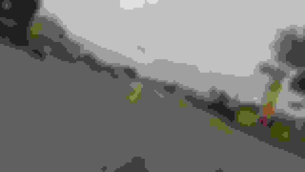
Here we're almost to Santa Fe. This is a nice ride until you get close where the traffic builds up.
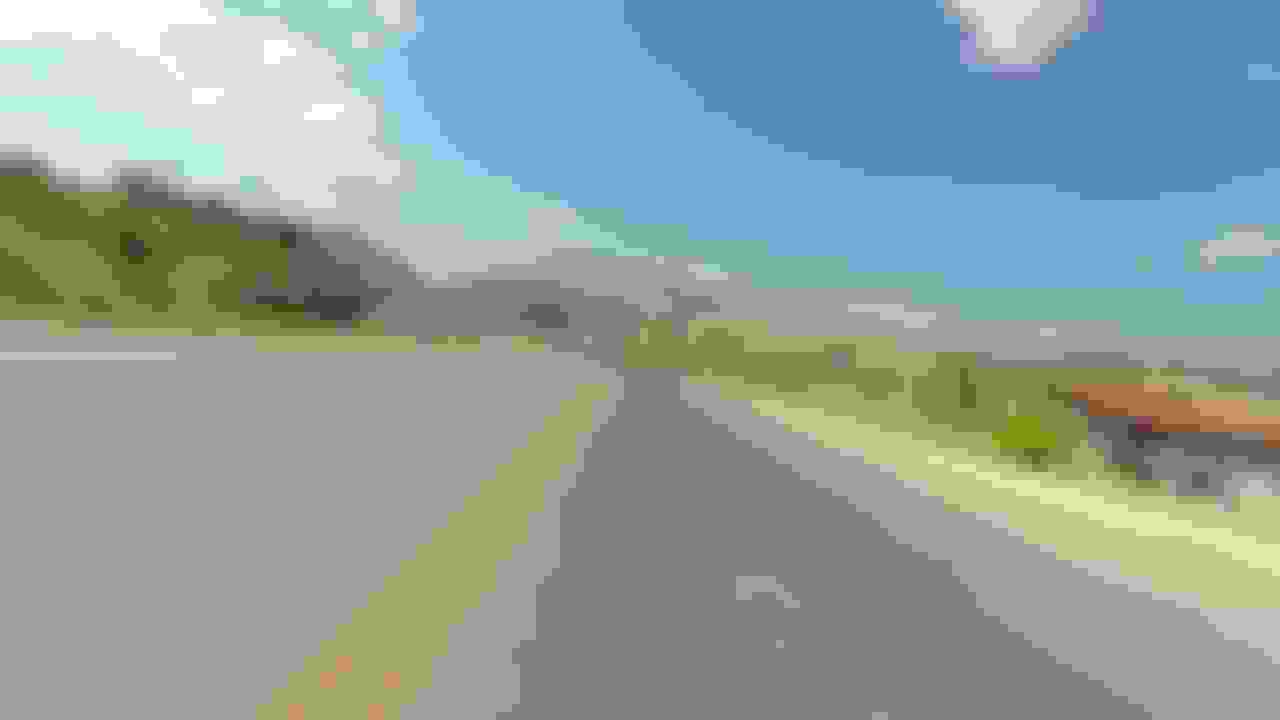
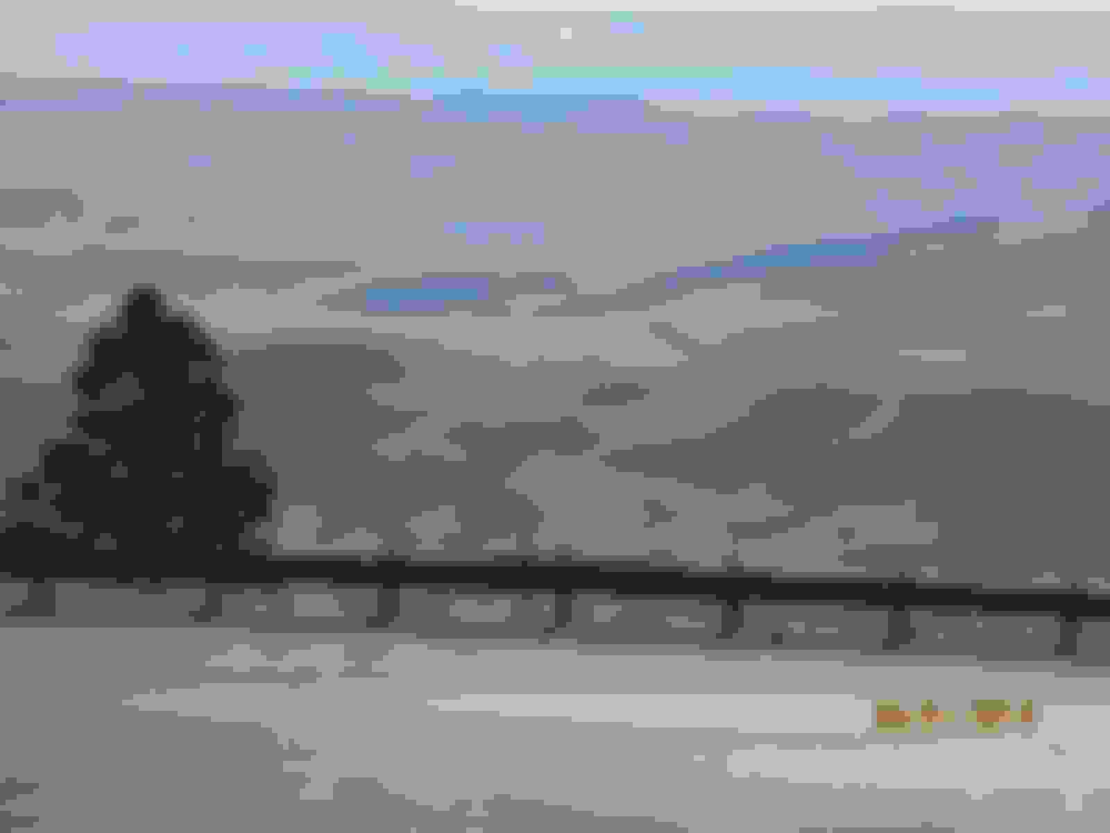
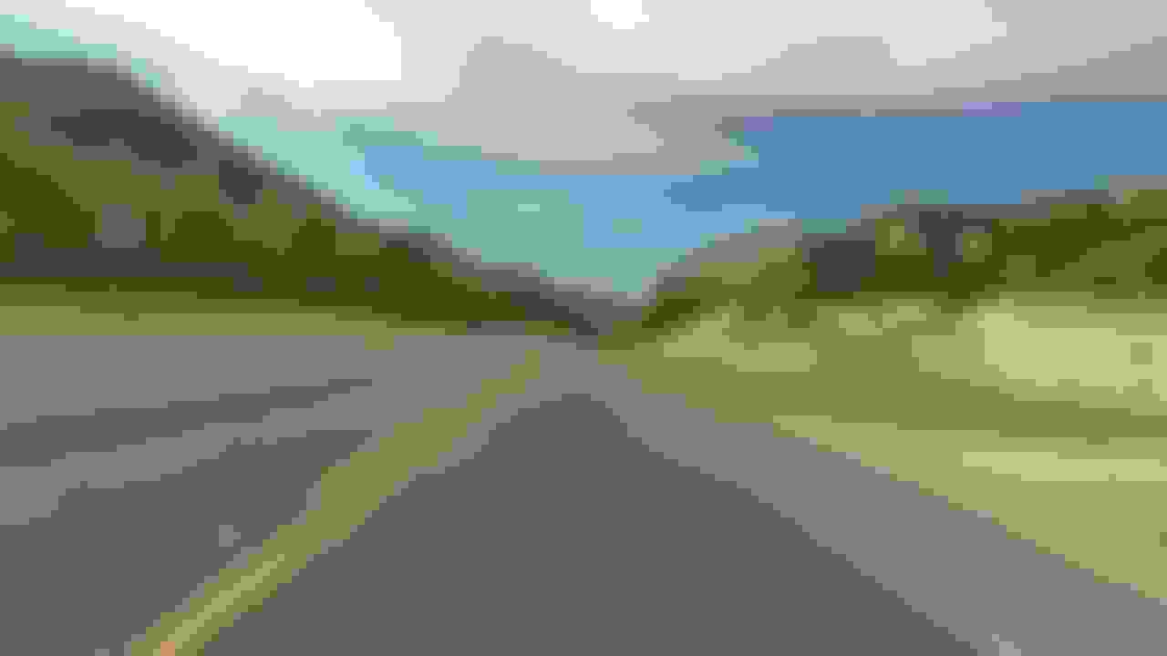
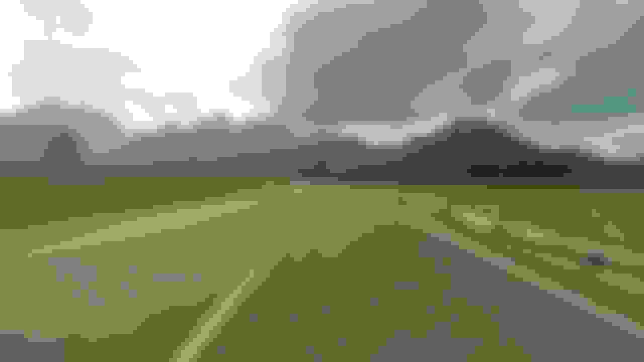
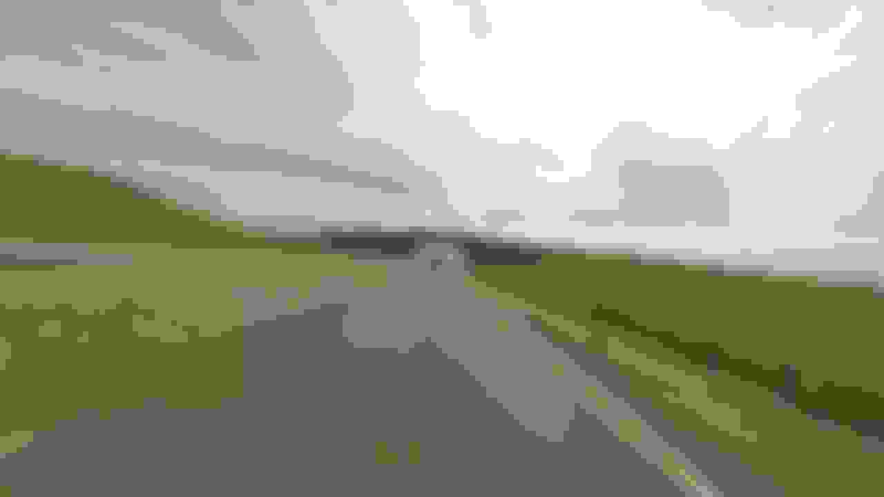
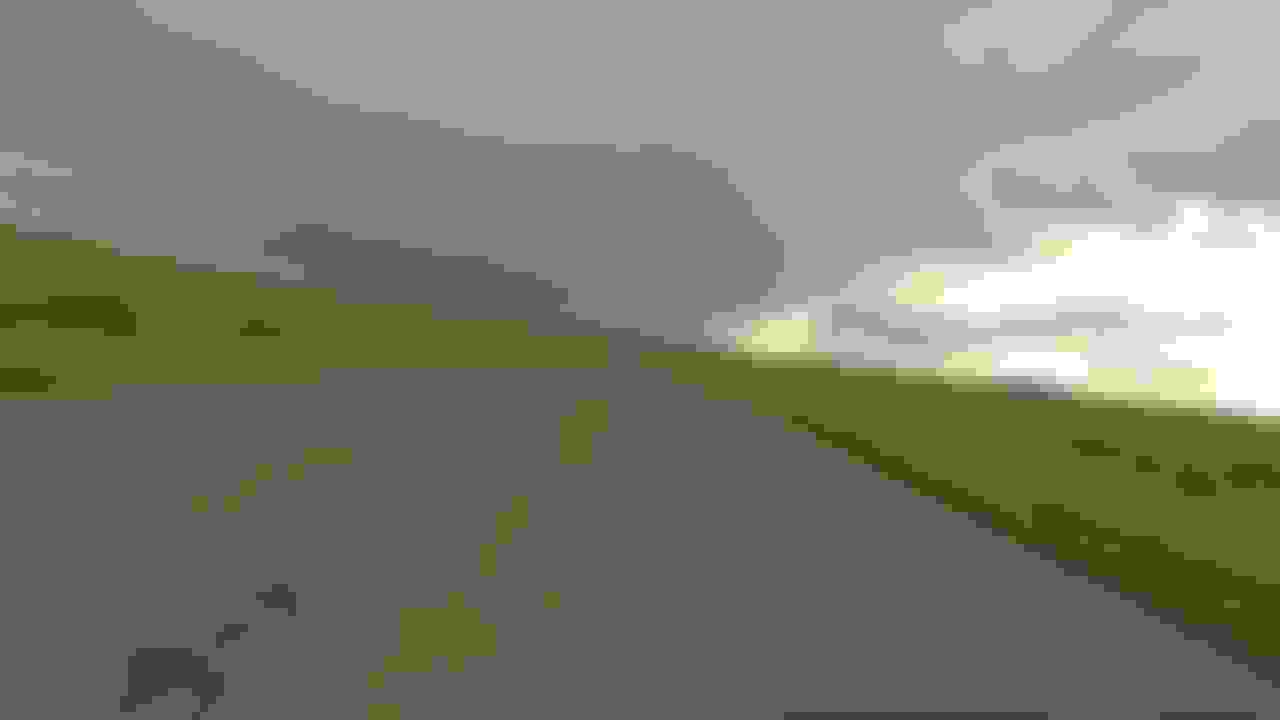
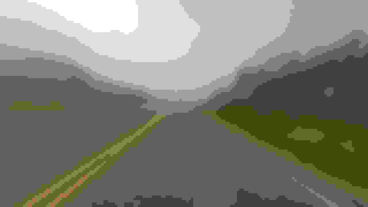
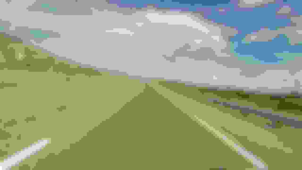
Now we're south of Santa Fe headed toward I-40. This is fairly flat desolate country.
Clines Corners at the intersection of Hwy 285 and I-40. This is a souvenir shop that started I think in the 50's before I-40 was here and it was just Route 66. They have anything you can imagine in there.
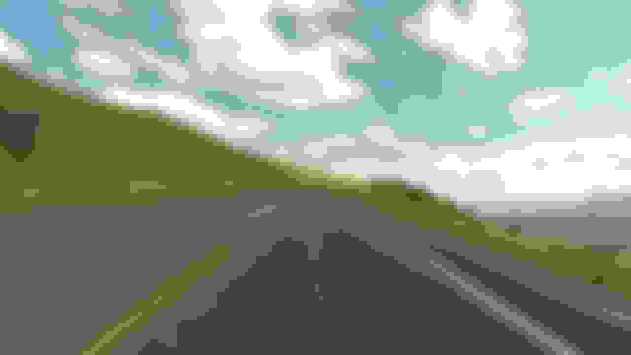
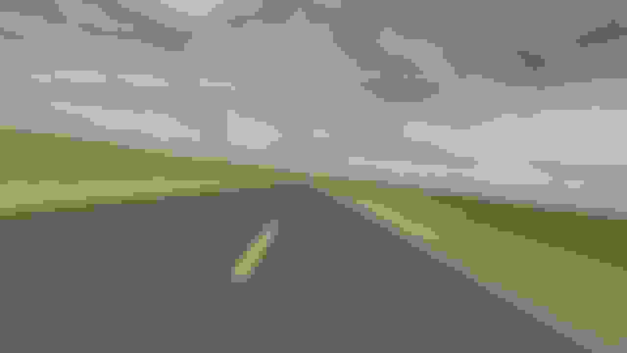
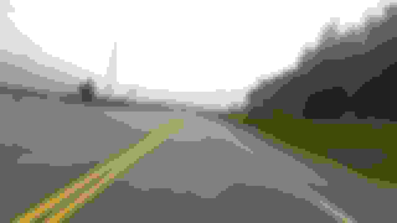
Now we're on I-40 headed toward Amarillo. It's about 230 miles between Clines Corners and Amarillo and it all looks pretty much the same. This is the last pic of the day.
When we got to Amarillo, we checked in the motel, walked across the parking lot to the Texas Roadhouse restaurant. We sat at the bar, ate roasted peanuts with our beer and then ate some dinner. Their table appetizers are buckets of roasted peanuts like you get at a baseball game. You just drop your shells on the floor and keep eating. I can eat those things till the cows come home and usually don't want much dinner. I did the same in this case.
Tomorrow we will finish the last 350 miles of the trip. We'll leave early to avoid the Texas heat which I haven't missed.
 09-11-2015, 06:24 PM