Robert...isn't your bike a '12 Limited? Your CEL coming on and your volt meter dropping reminds me of the voltage regulator campaign Harley did on a bunch of 2012 FL's. Harley's supplier shipped a bunch of bad regulators and dealers had to swap them out for new ones under warranty. Hope yours holds up, but I guess we'll find out in later posts. Always enjoy your trip reports.
Yes, it's a '12 Limited. Thanks for that info, I'll use it. I plan on taking it in next week and will post the outcome for those that are curious.
We've ridden through the park several times, but we were so close we did it again. We rode a little way for breakfast in Idaho Springs at the Main Street Restaurant which was very good. The closer we got to the park the cloudier it got. We had some light rain as we got closer to the visitor center.
Here's our route for the day.
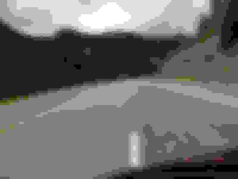
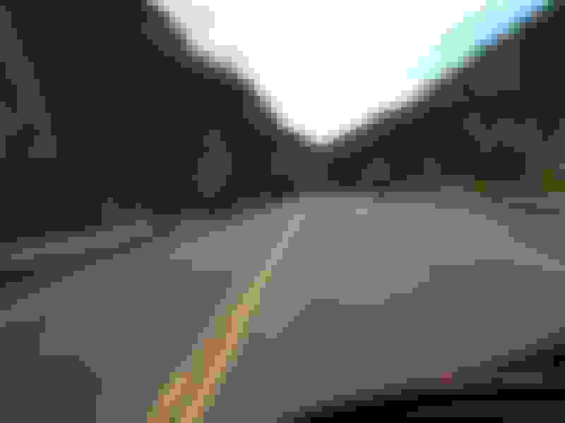
Another tunnel on Hwy 6.
Inside the tunnel.
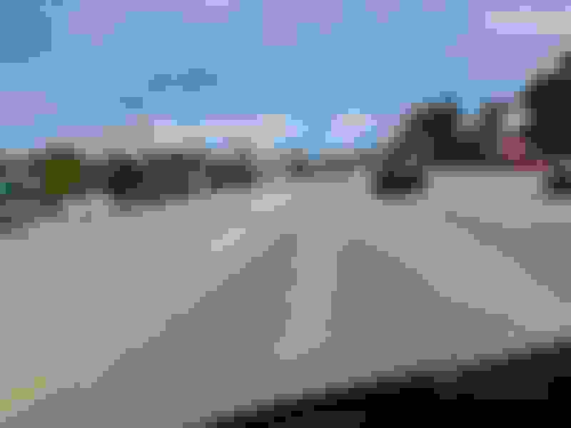
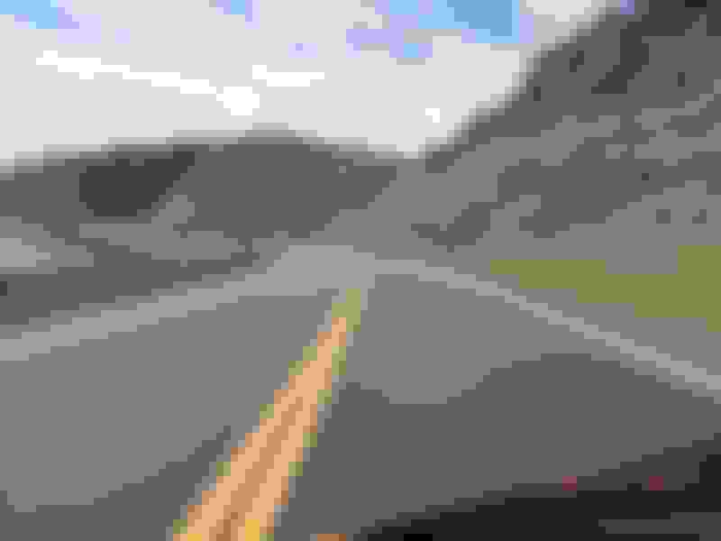
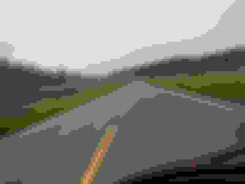
Hwy 6 is in some gorgeous country.
Here's a double tunnel.
This is just outside Winter Park on the way to Granby.
Coming in to Granby.
This is just before Grand Lake, getting close to the park.
The park entrance.
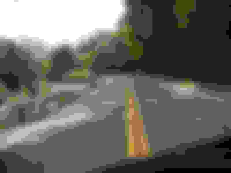
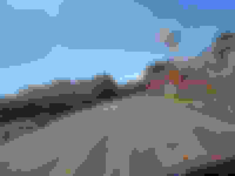
A couple of shots on the way to the visitor center.
As you can see it's starting to get pretty cloudy. The rain starts in just a minute.
This is inside the Visitor Center.
This is from the observation area in back of the visitor center. Every time I've been here, there's always a little snow still on the ground.
We looked around in the gift shop for a while to let the rain stop. Mark walked over to the next building where the restrooms are. I walked over to the window and saw this. It's a little hail and sleet mixed together.
This is Mark coming back from the restroom. It came down fairly hard for a while, long enough to make the ground white. We waited until enough cars cleared some lanes for us and the headed toward Estes Park.
That's it for the day. It rained most of the way back. When we dropped down into Estes Park is was actually snowing a little.
Oh man! I'm glad to see others are enjoying the CO roads! Avalanche is my favorite stealership for all the little goodies, and they have great bike-nights.
We stayed three nights in Black Hawk so today we moved a little further west. We enjoy the small mountain towns so our destination was Creede. Most of the ride was wet.
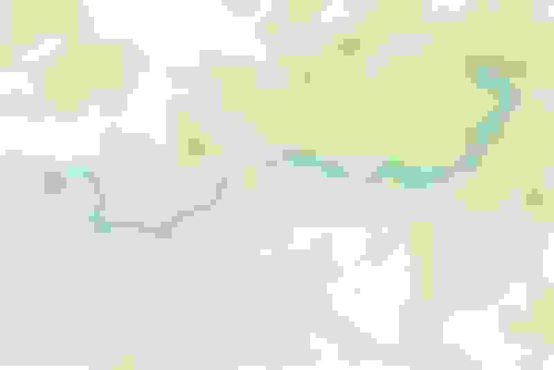
Here's our route for the day.
This is a better view of the double tunnel we rode through yesterday on Hwy 6. Had to repeat that portion to get to I-70.
This is inside Eisenhower Tunnel on I-70. It's about two miles long.
Shortly after the tunnel we turned south off of I-70 on Hwy 91 toward Leadville. This is just coming in to Leadville. It had been raining since we got off of I-70.
Downtown Leadville, the highest elevation of any incorporated city in the U.S. at 10,152 feet.
This saloon has been here a while.
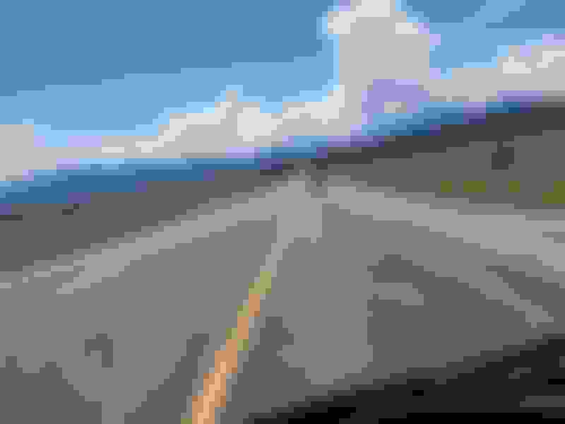
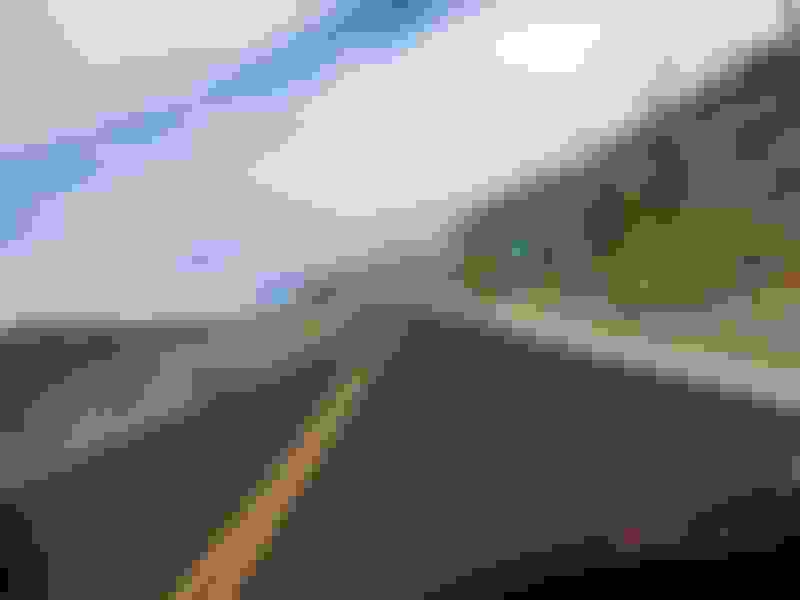
Headed south out of Leadville toward Poncha Springs. A little flat, straight stretch between mountain ranges.
Not far west of Poncha Springs we went over Monarch Pass.
This is the upper part of Blue Mesa Reservoir just before turning south on Hwy 149 toward Lake City.
Hwy 149 follows the Lake Fork of the Gunnison River before reaching Lake City. Lake Fork sounds weird for the name for a river.
Another shot before Lake City.
We didn't stop in Lake City. Here we are passing through.
Not far out of Lake City we rode over Slumgullion Pass at 11,530 feet.
A typical stop for road work. They can only work 2-4 months during the summer, the rest of the time they're plowing snow.
While sitting at the road block, I caught these two off to my left.
Well that's it for the day. I was ready to get to Creede and dry off and then have a cold beer.
Day 6, Creede to Mexican Hat, UT via the Moki Dugway - 312 Miles
This ride took me to a part of the country where I'd never been. It's quiet a change from the green rugged mountains, but very spectacular in it's own way. You can see forever it seems in some places. I had heard a lot about the Moki Dugway and seen a lot of pictures of it, so I had to ride it. We rode up to the top and turned around and rode back down. It's an 1100 feet vertical change and all gravel for 3 miles, so it makes for a nerve-racking ride.
Here's our route for the day.
This is leaving Creede at 35 degrees and low hanging clouds with a mist in the air. This was the coldest morning of the trip.
Just turned west at South Fork toward Wolf Creek Pass. The clouds had burned off and it was a little warmer, but you never know what to expect going over the pass.
One of the tunnels on the way up to the pass. This one was closed, but they had a temporary road that went around it.
This is a snow tunnel. Apparently the snow gets very deep in this area and it's easier to tunnel through it than plow it.
Almost to the top.
At the summit of Wolf Creek Pass, 10,857 feet.
On the way down toward Pagosa Springs.
Almost to Durango. We stopped at the Harley store and ate lunch next door at Serious Texas BBQ. I didn't take any pictures in Durango, I guess because I've been there several times and just didn't think about it.
Headed southwest out of Cortez towards the four corners area. No more mountains for a while.
That's the Arizona state sign just past the turn to the Four Corners marker which they now charge to go in. No thanks. I have a picture of me standing in all four states from several years ago when it was free. I apologize for the bug on the camera lens.
Now we're entering Utah.
About to cross the San Juan River which makes a strip of green in an otherwise dry desert country.
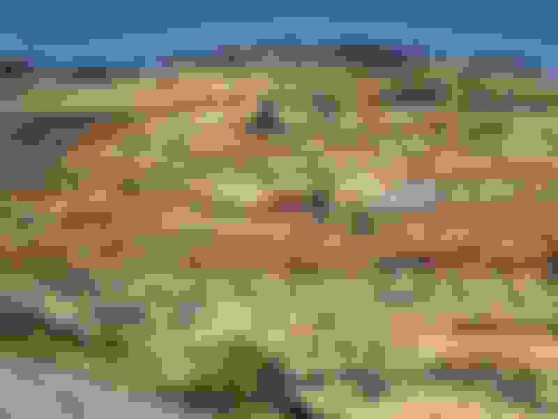
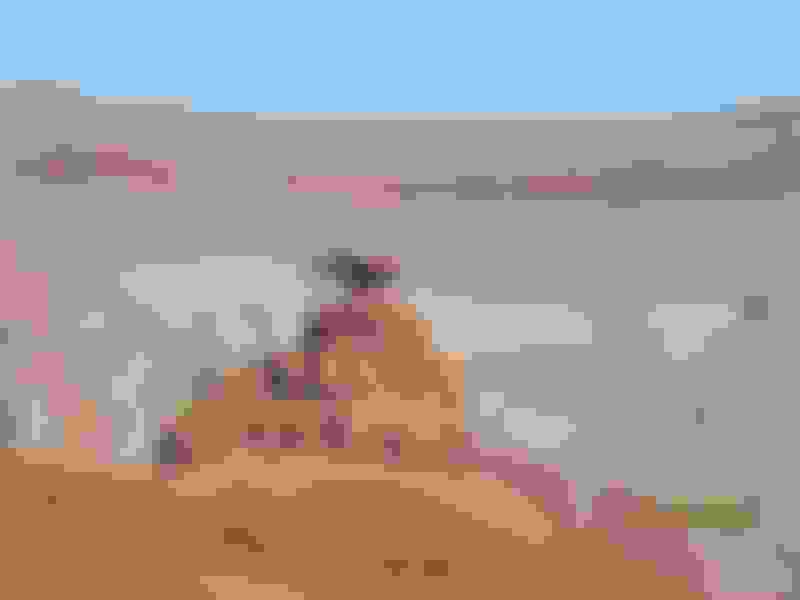
A couple of random pics of the countryside.
Here we've turned north on Utah 261 which goes to the Moki Dugway. It's only around 6 miles to where it begins off the main highway to Mexican Hat. You probably can't read the sign, but it says there's 3 miles of gravel road ahead with steep climbs and sharp switchbacks.
Getting closer. This is an 1100 vertical feet change in elevation.
We've stopped at a pull out about halfway up. Awesome views from here.
Looking at what we have left to climb. It doesn't look like there's a road up there, but there is.
A couple more pics from the halfway point.
While we were looking around at the halfway point I kept hearing a noise from higher on the road. I thought it might be some maintenance machinery, but as it got closer we could see that it was an 18 wheeler coming down the road. At both ends there were signs that said they were prohibited from this road, but I guess the driver couldn't read. I'm not sure how he made it around some of those hairpins. Some were pretty tight even for a motorcycle.
We made it to the top. Here we've already turned around and are about to go back down.
The official sign with graffiti and all.
Just past the sign there's a pullout at the top. That's the road we came rode in from below.
I can only post 25 pics per post, so I'll continue in the next post.
 09-27-2016, 03:26 PM