To Alaska on a Motorcycle


#22
 07-03-2018, 04:45 PM
I went to bed early last night and I get up early. At 6:00 start to head out and realize I need gas before leaving town. On the Alaskan Highway a lot of the gas stations are not pay at the pump. I should have gotten gas the night before when the gas stations were open. Luckily I do find a pay at the pump gas station and fill up. No restaurants are open yet so I head out on the highway.
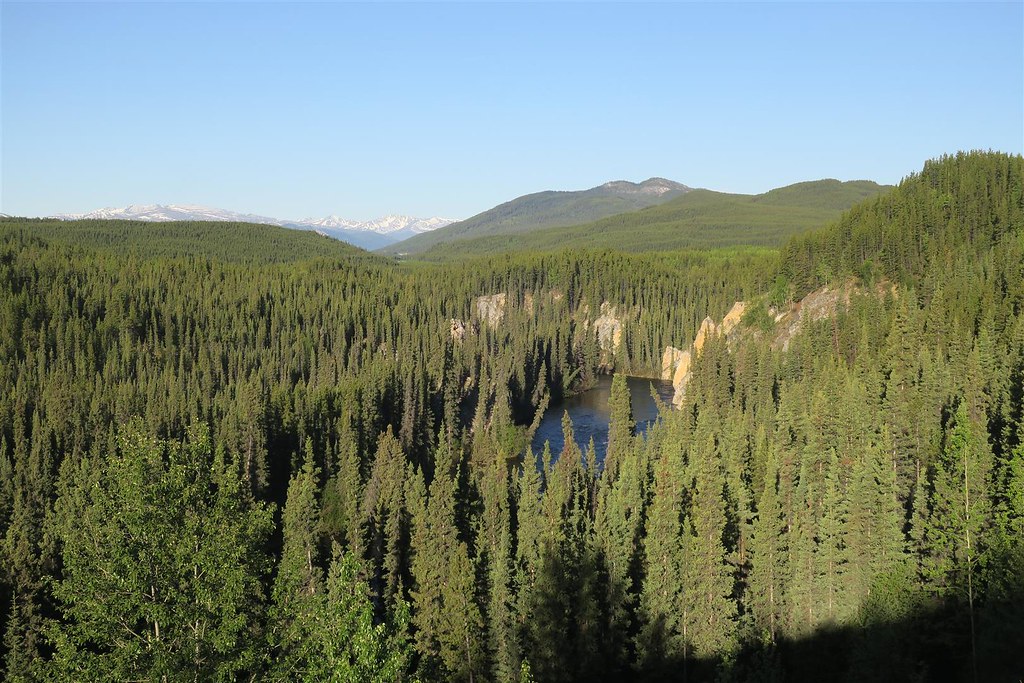
This is the Rancheria River
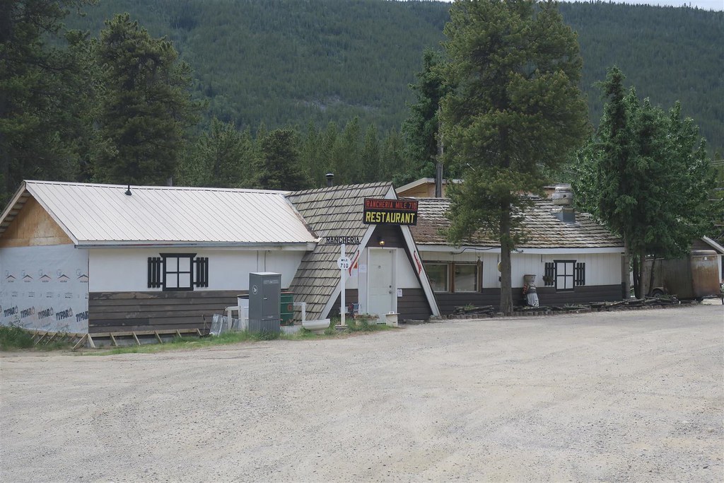
I ride for almost 2 hours before stopping for breakfast at the Rancheria Restaurant.
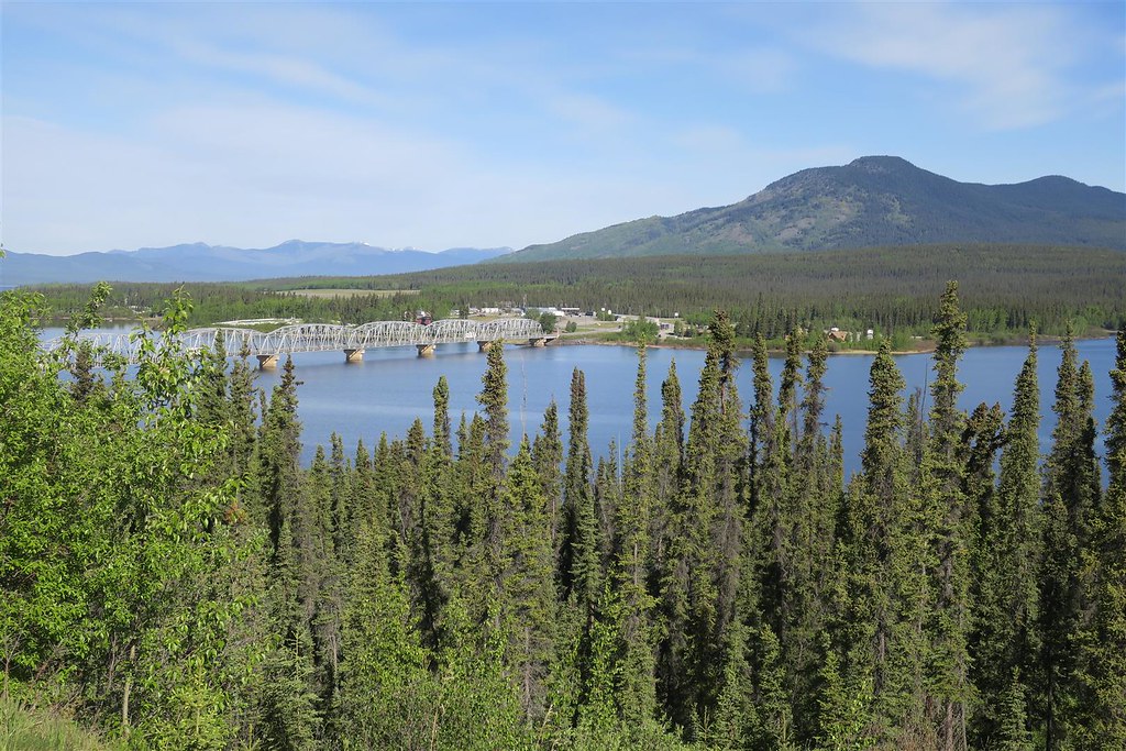
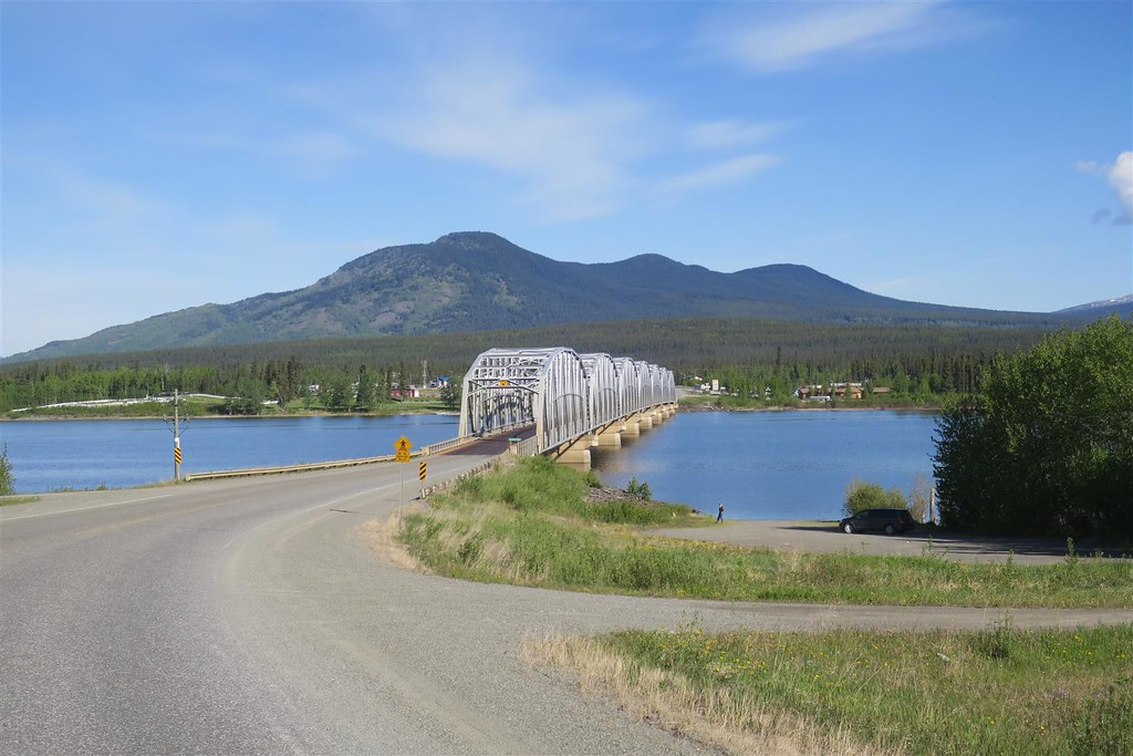
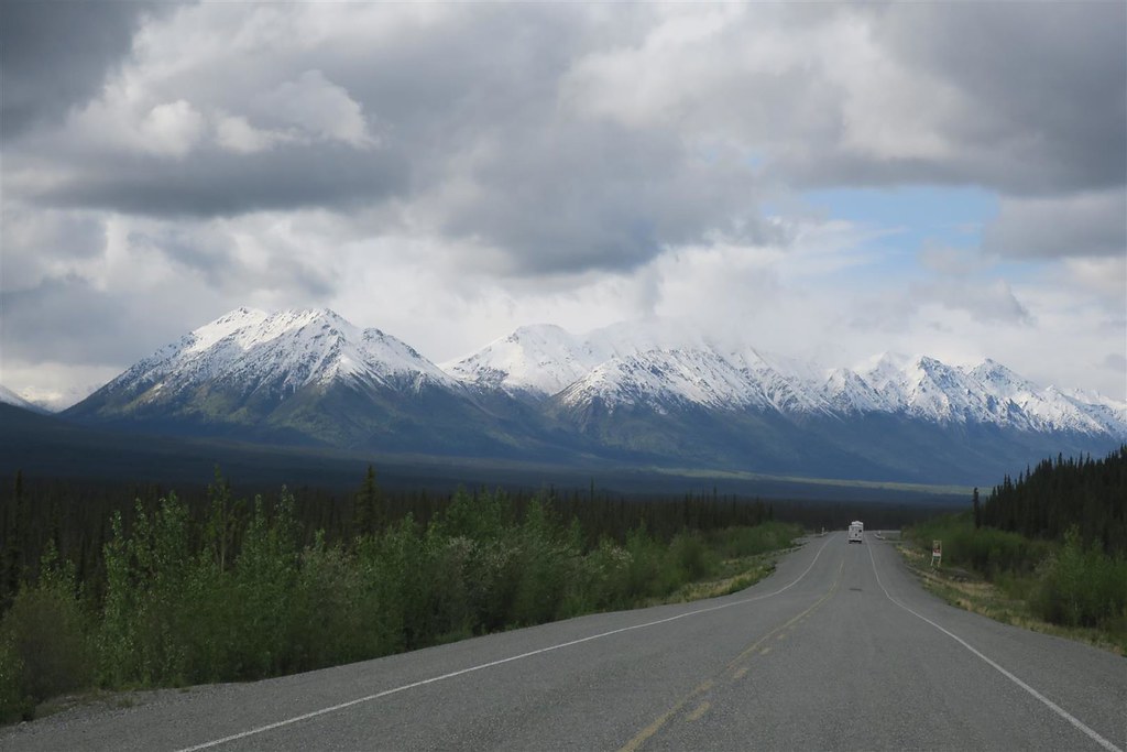
This is the bridge at Teslin Yukon.
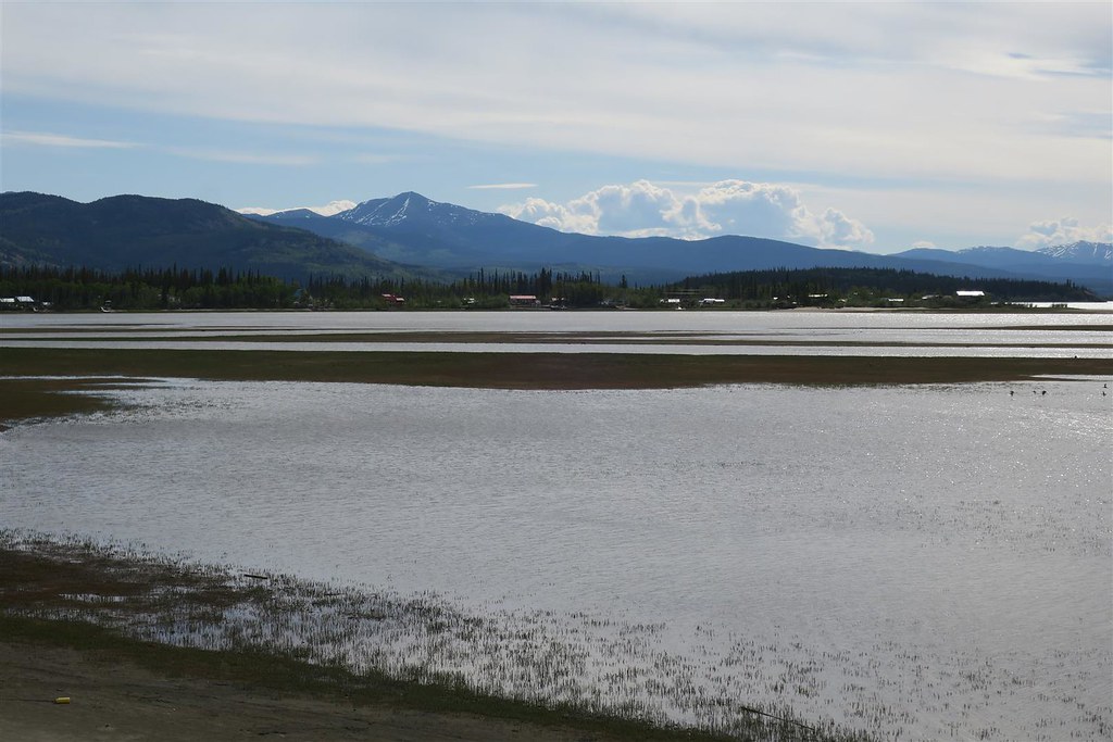
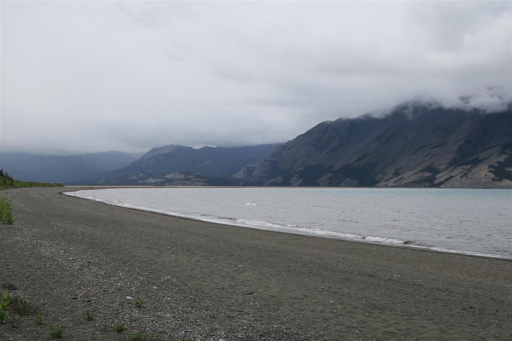
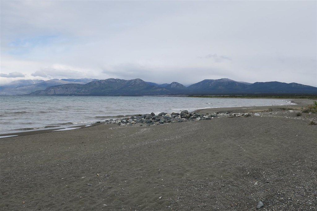
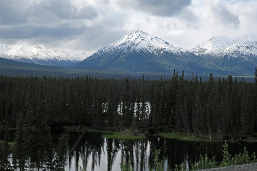
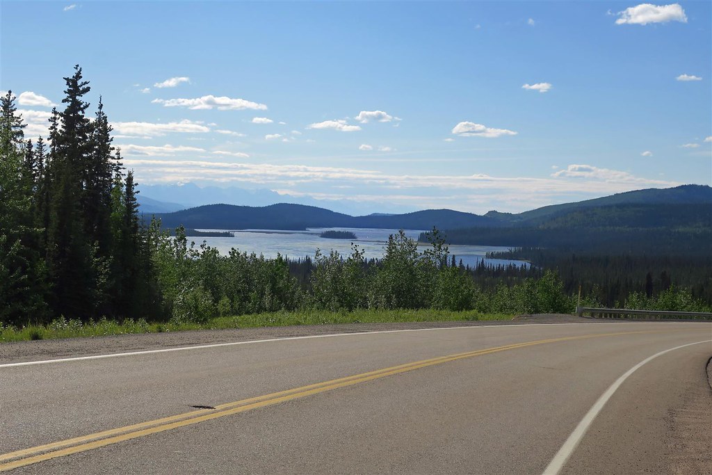
Then I stopped at Marsh Lake.
The water level was very low.
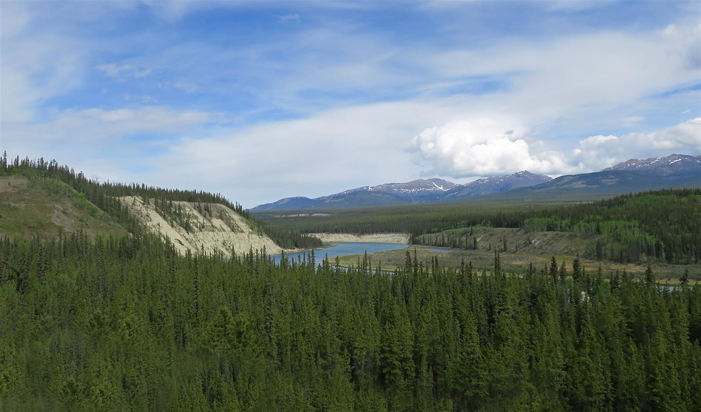
This is the Yukon River
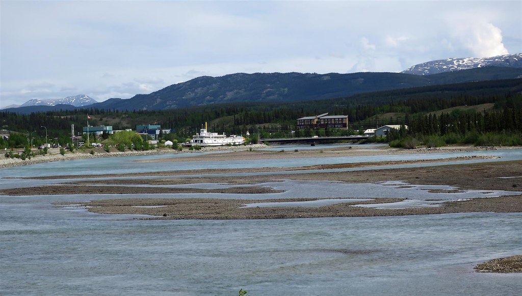
I approached Whitehorse on the Yukon river. Whitehorse is the capital of Yukon.
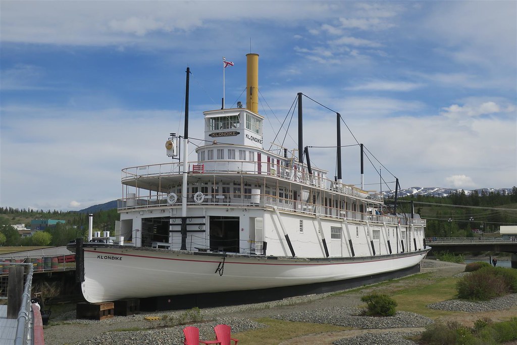
There is an old riverboat at Whitehorse.
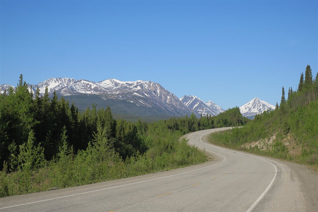
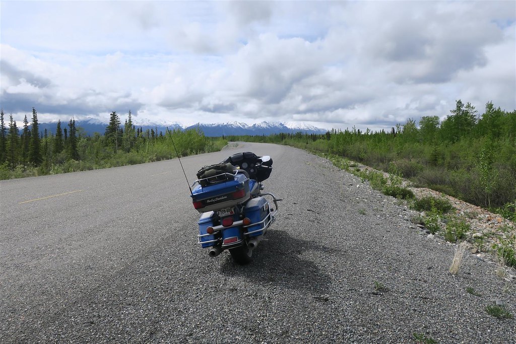
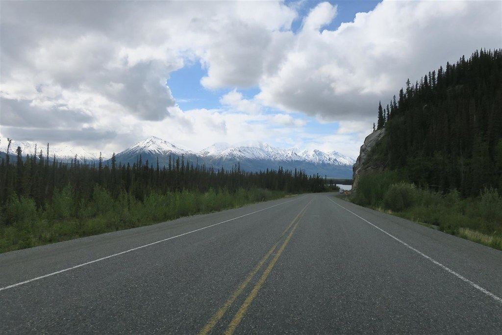
It started to rain. I have a high mountain pass to go over soon and it looks like I'll be wet and cold. I put on my rain gear.
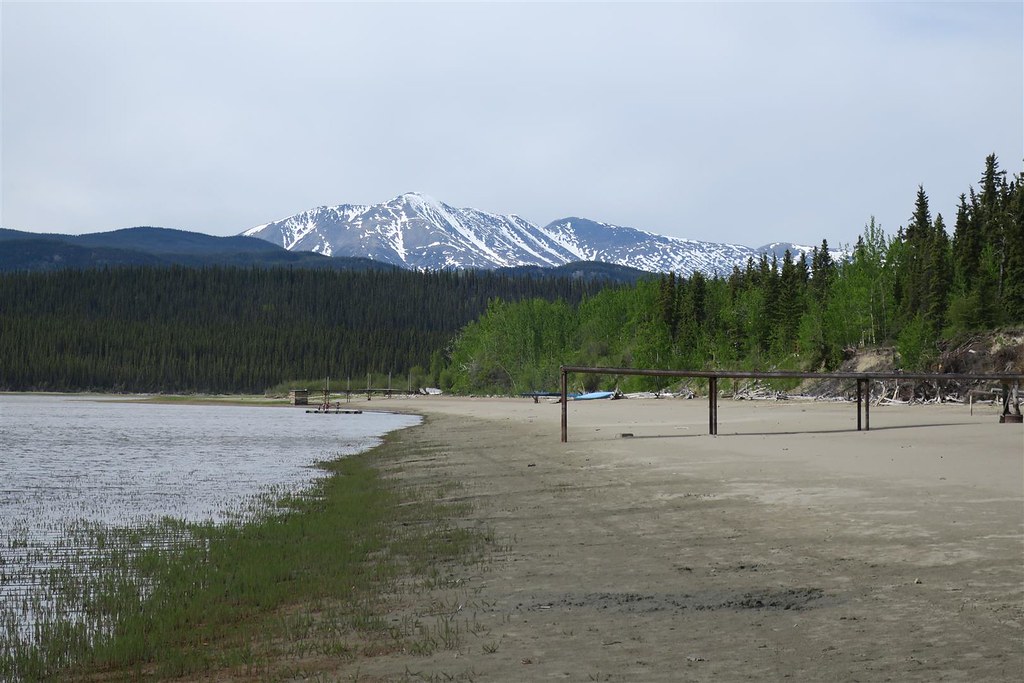
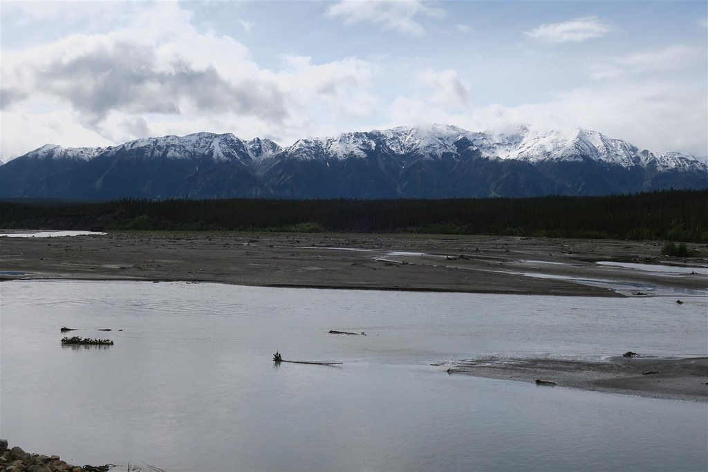
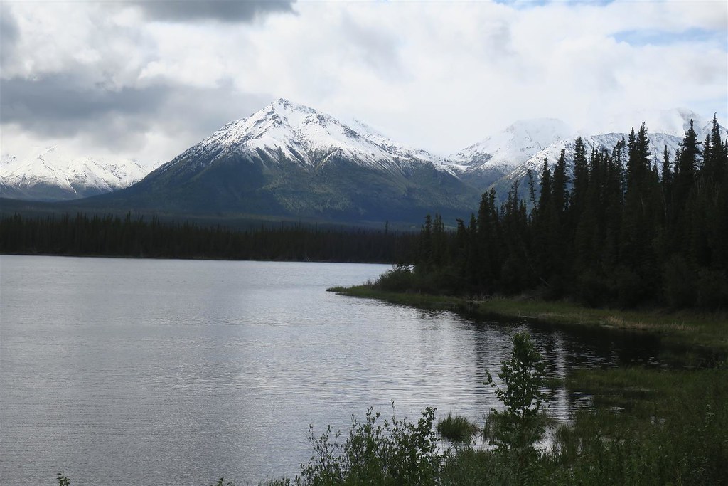
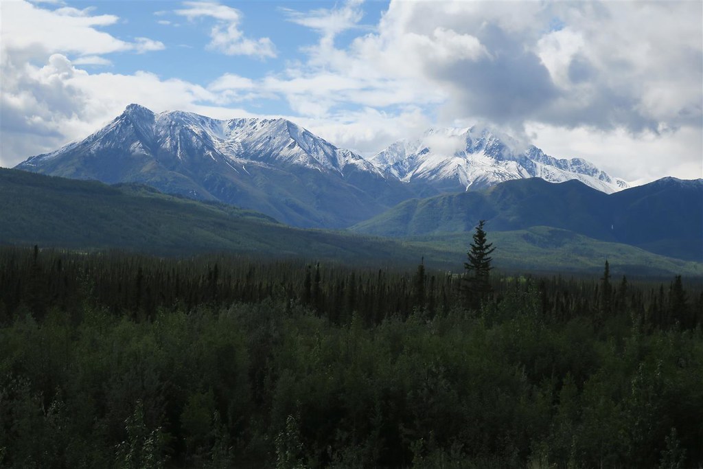
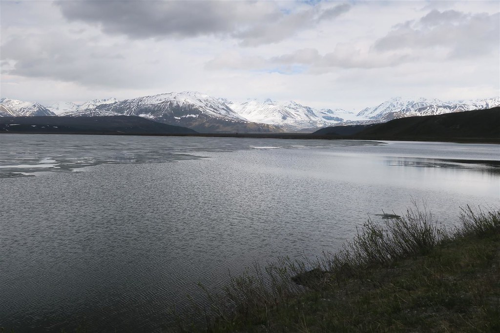
This is Kluane Lake.
This is the Rancheria River
I ride for almost 2 hours before stopping for breakfast at the Rancheria Restaurant.
This is the bridge at Teslin Yukon.
Then I stopped at Marsh Lake.
The water level was very low.
This is the Yukon River
I approached Whitehorse on the Yukon river. Whitehorse is the capital of Yukon.
There is an old riverboat at Whitehorse.
It started to rain. I have a high mountain pass to go over soon and it looks like I'll be wet and cold. I put on my rain gear.
This is Kluane Lake.
The following users liked this post:
DanDeleted (07-03-2018)
#23
07-03-2018, 04:46 PM
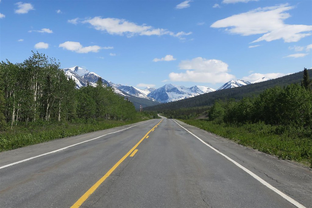
I went by the Donjek River in Western Yukon.
When I came up the Alaska Highway as a teenager I remember often seeing a small plane in the front yard of the homes. People used to start up their plane and if the coast was clear they would use the highway as a runway. We still don't have a whole lot of traffic on the Alcan Highway but enough to prevent the citizens from using it as a runway.
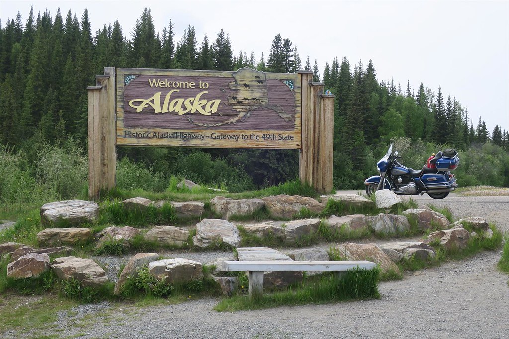
3215 miles from home I cross the border into Alaska.
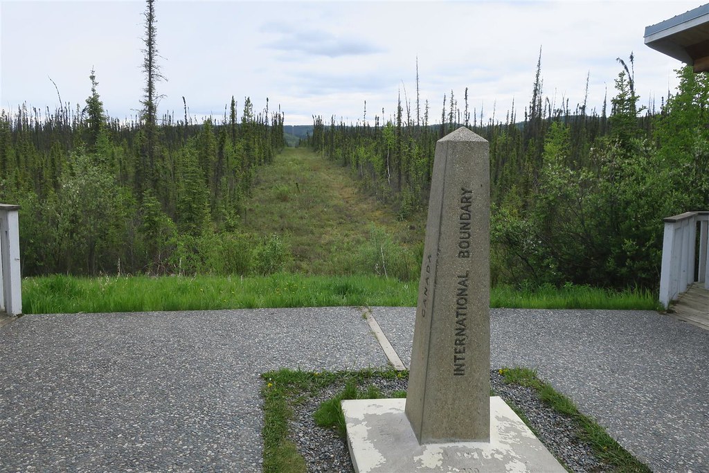
I pass by the Canadian customs inspection building for traffic coming from the other direction into Canada. I continue 20 more miles before I cross the actual international boarder. There is no fence or wall. I continue on to the US customs inspections building.
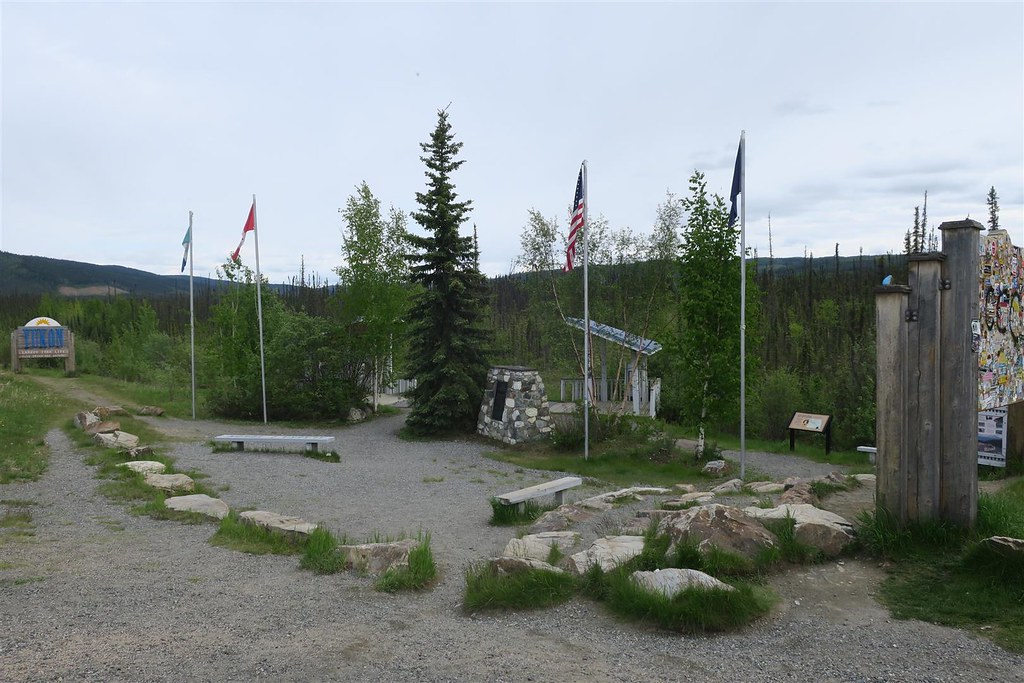
This little rest area covers both Alaska and Canada. One bench in the middle of the picture has a line on it for the Alaska Canada border.
At 10:30 pm I ride into Delta Junction AK and get a motel. It�s late but the sun is up. I�m in the land of the midnight sun. Actually you have to be north of the Arctic Circle to truly have the sun never set. Here at Delta Junction Alaska the sun sets at 12:10 am and comes backup up at 3:13 am this time of the year but the sun is never far below the horizon. It�s always bright twilight in the middle of the night. Summer solstice, the longest day of the year, is June 21st about one week from now. In winter it�s the opposite extreme, it�s almost always dark except around noon.
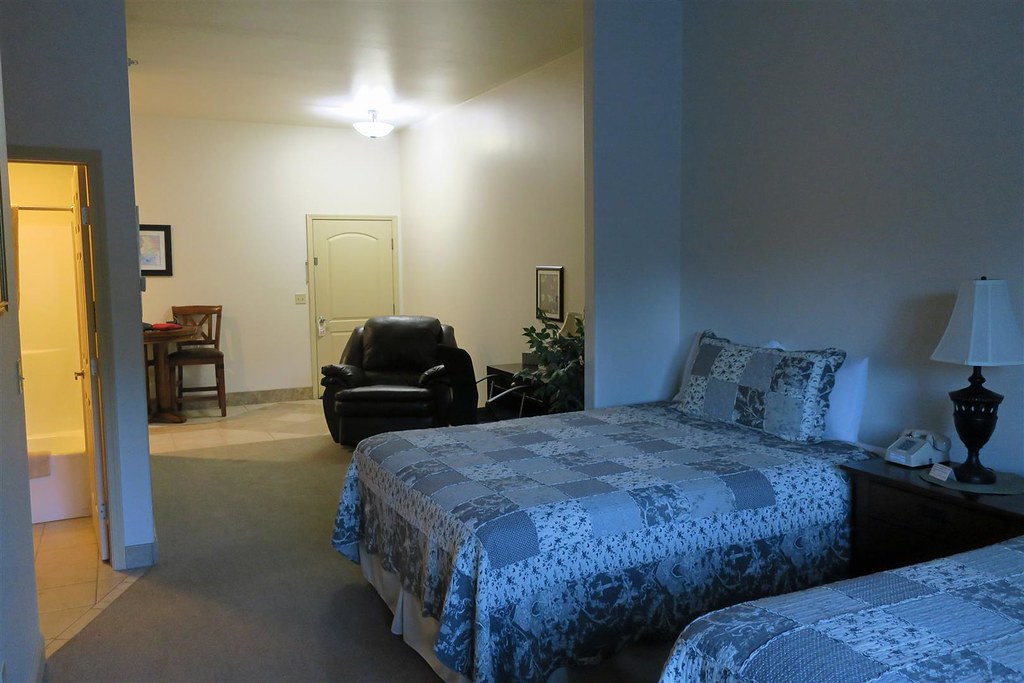
I stay at the Diamond Willow Inn in Delta Junction. This was a really nice motel.
Today I rode 799 miles for 12 hours.
To be continued ...
The following users liked this post:
DanDeleted (07-03-2018)
#24
07-03-2018, 05:04 PM
Road Warrior
#25
07-03-2018, 05:55 PM

Moderator
#26
07-04-2018, 10:18 PM
As a reminder here's a link to the GPS route I took:
Alaska Spotwalla GPS Route
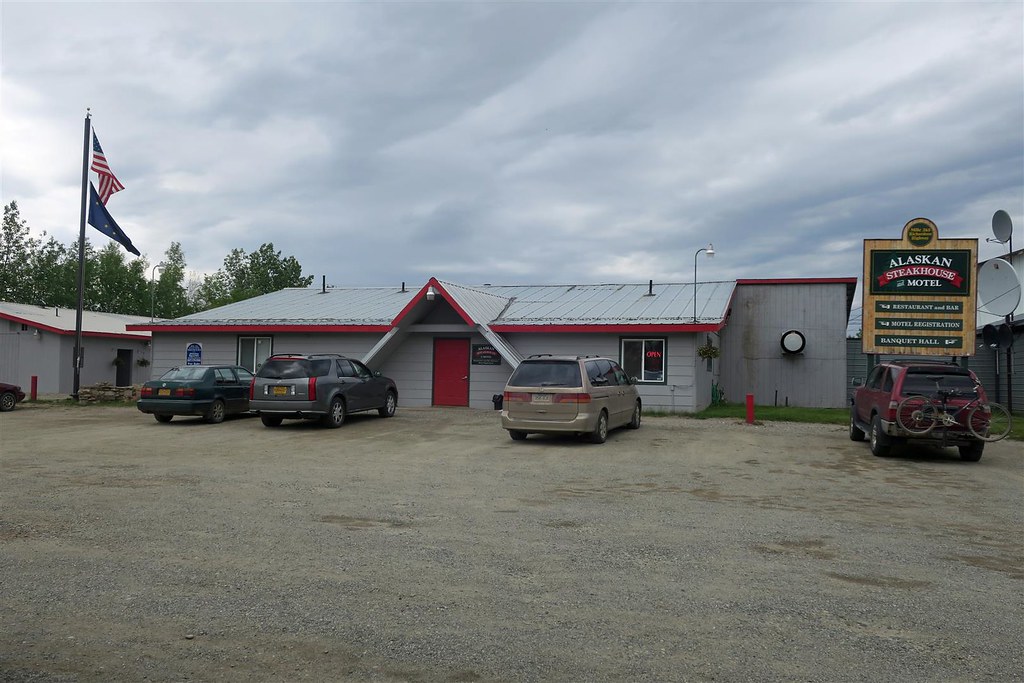
The locals recommended �the steak house� for breakfast so that�s where I headed.
The omelet was excellent.
I was planning on going up the Dalton Highway to the Arctic Circle. I checked the weather and it was going to be subfreezing and snowing for the next few days on the Dalton Highway. Instead I decided to head south to Valdez. I later find out the weather up north was much worse than the forecast lead me to believe. It was a full winter blizzard (in June). They got lots of snow and low visibility. An 18 wheeler went off the Dalton Highway.
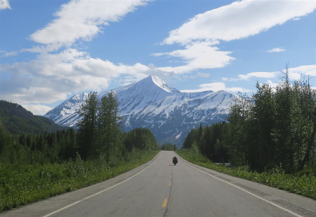
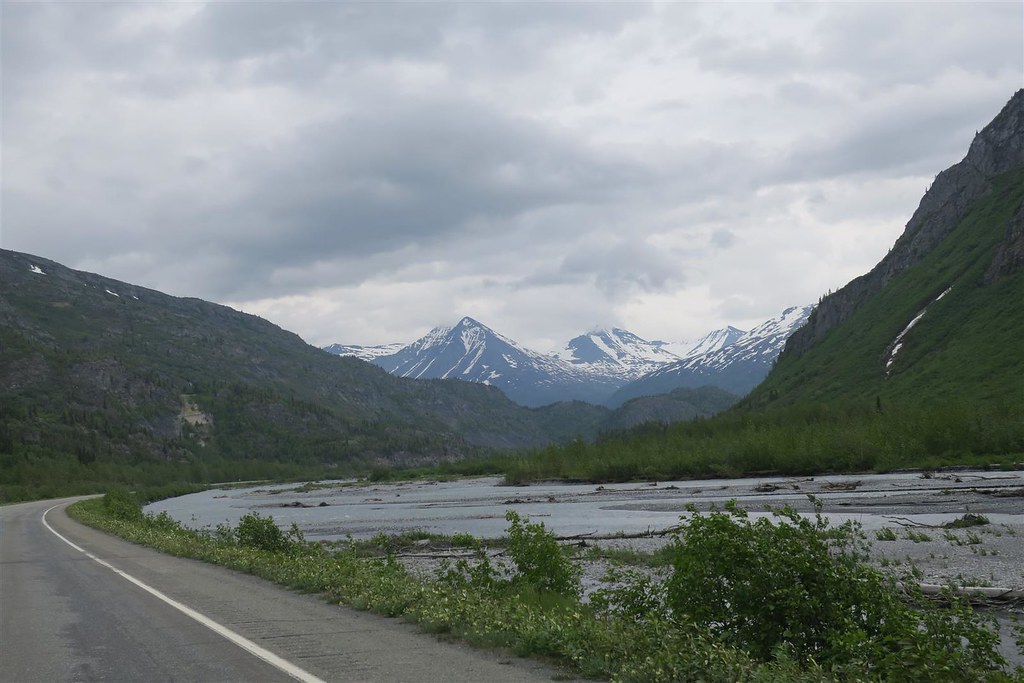
Instead I headed south. From Delta Junction I head out onto the Richardson Highway (highway 4).
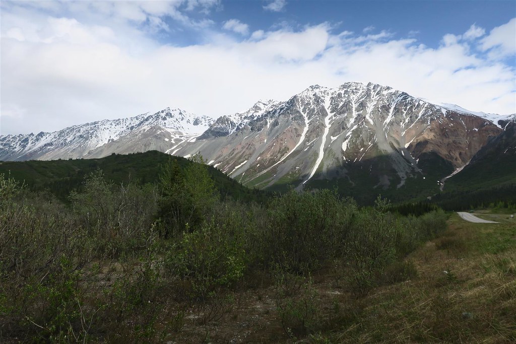
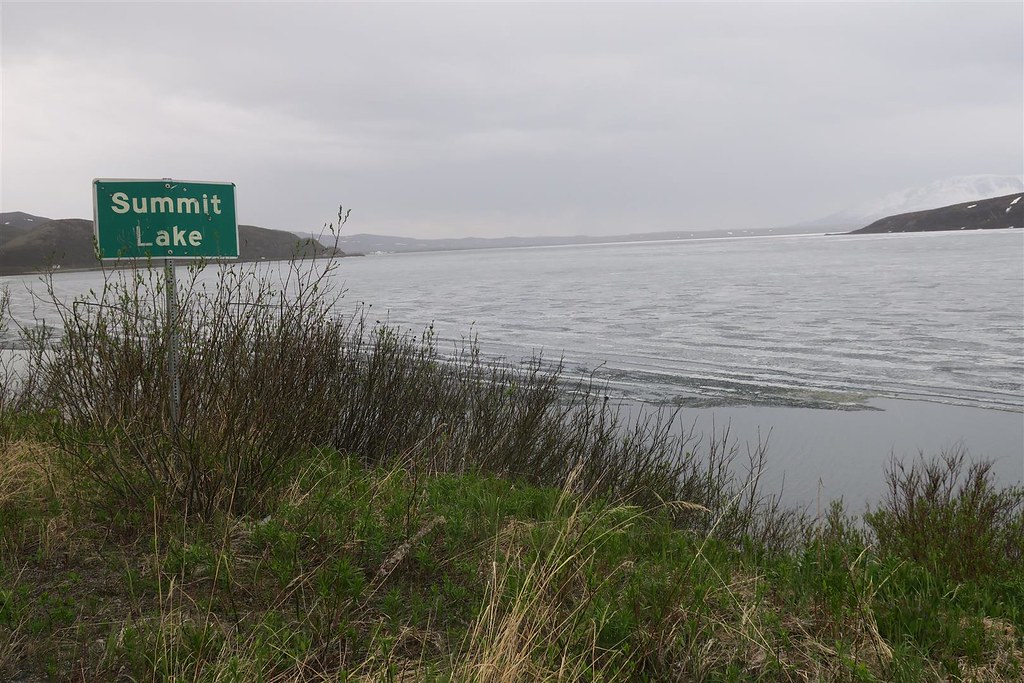
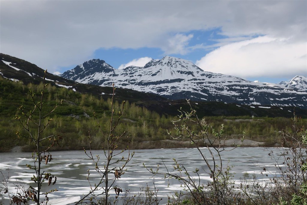
At a high elevation I passed by the aptly named Summit Lake which was still frozen.
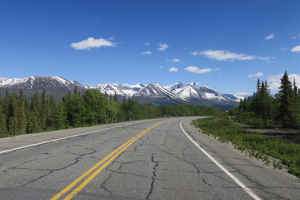
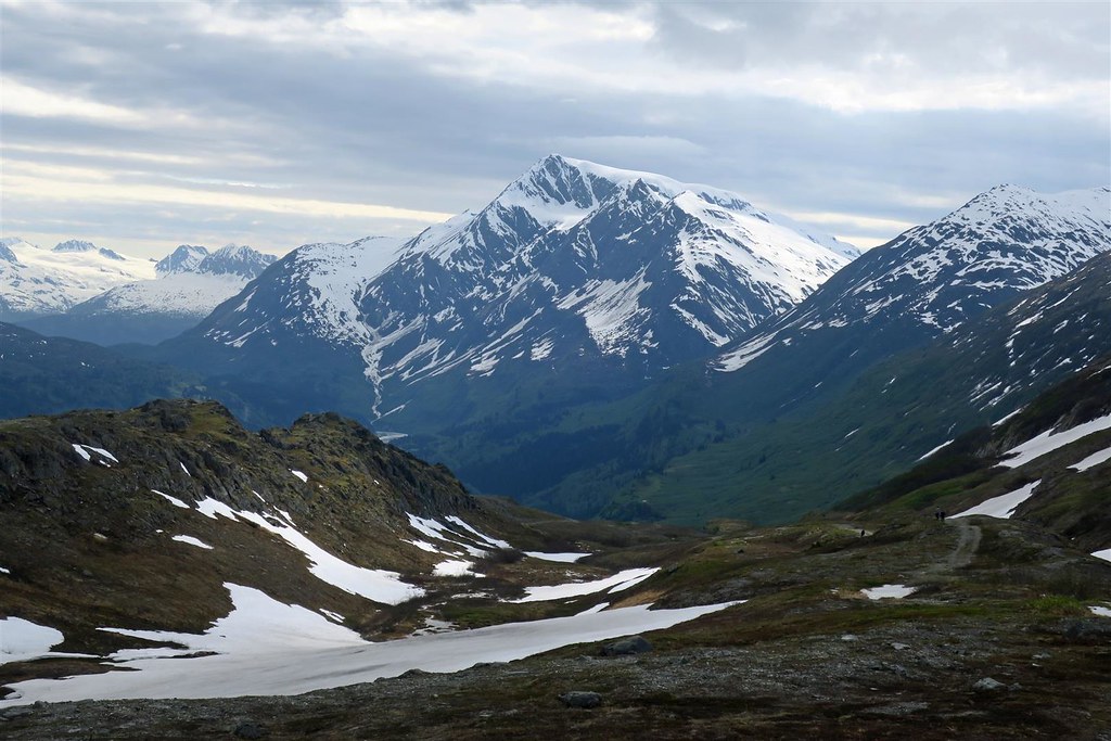
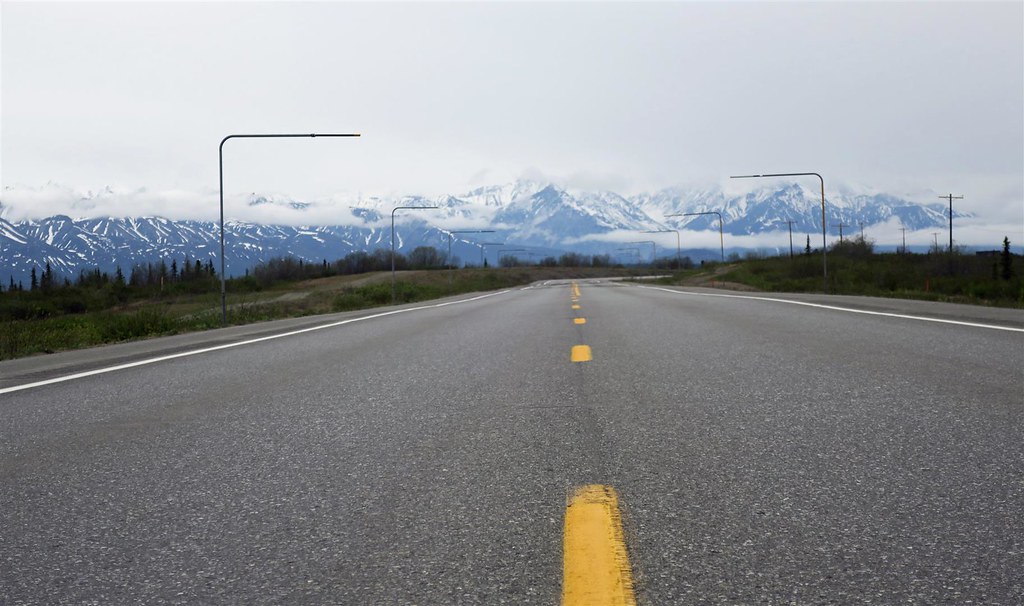
The Richardson Highway is a beautiful highway that runs through the mountains.
This next picture is the Tsina River.
Alaska Spotwalla GPS Route
The locals recommended �the steak house� for breakfast so that�s where I headed.
The omelet was excellent.
I was planning on going up the Dalton Highway to the Arctic Circle. I checked the weather and it was going to be subfreezing and snowing for the next few days on the Dalton Highway. Instead I decided to head south to Valdez. I later find out the weather up north was much worse than the forecast lead me to believe. It was a full winter blizzard (in June). They got lots of snow and low visibility. An 18 wheeler went off the Dalton Highway.
Instead I headed south. From Delta Junction I head out onto the Richardson Highway (highway 4).
At a high elevation I passed by the aptly named Summit Lake which was still frozen.
The Richardson Highway is a beautiful highway that runs through the mountains.
This next picture is the Tsina River.
#27
07-04-2018, 10:19 PM
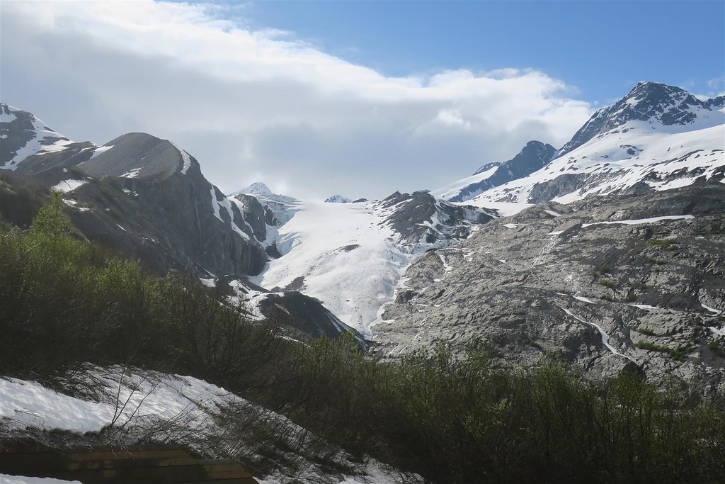
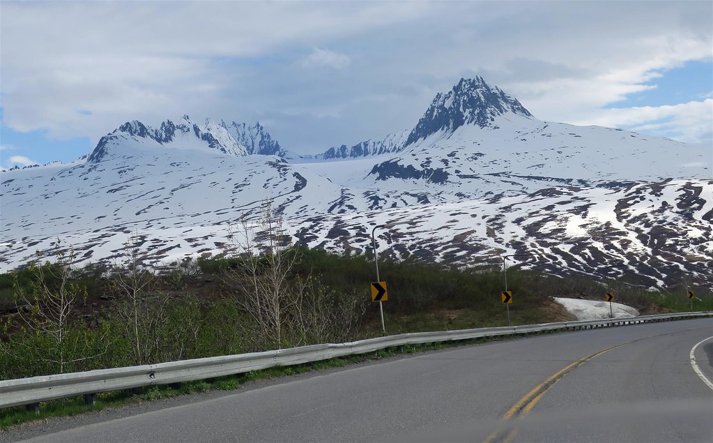
I decide to pull over at the Worthington Glacier. When I go to downshift my toe shifter goes much too low. After stopping I inspect it. My shift lever is loose. I try to tighten it but I feel that I may break the screw before the lever is tight. I realize the splines are shot. Later on I call the Anchorage Harley shop asking for a new shift lever and the shaft. They have the shaft but not the shift lever. I don�t want to replace the shaft and reuse a lever with damaged splines. After explaining my situation they ask around and find a used shaft in good shape. I tell them I�ll be there Saturday.
This is the Worthington Glacier.
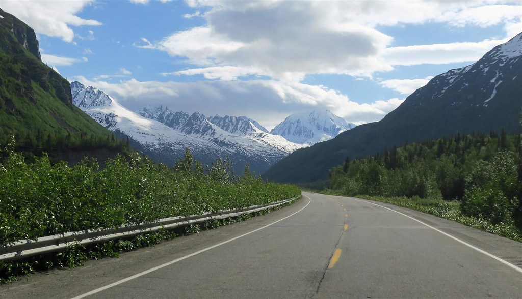
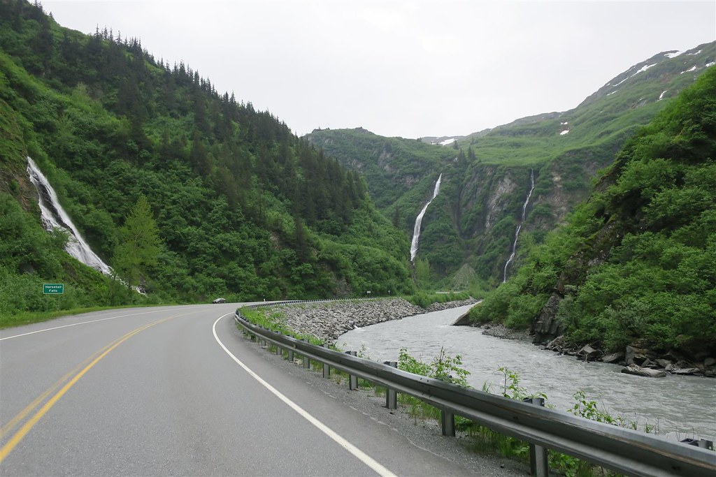
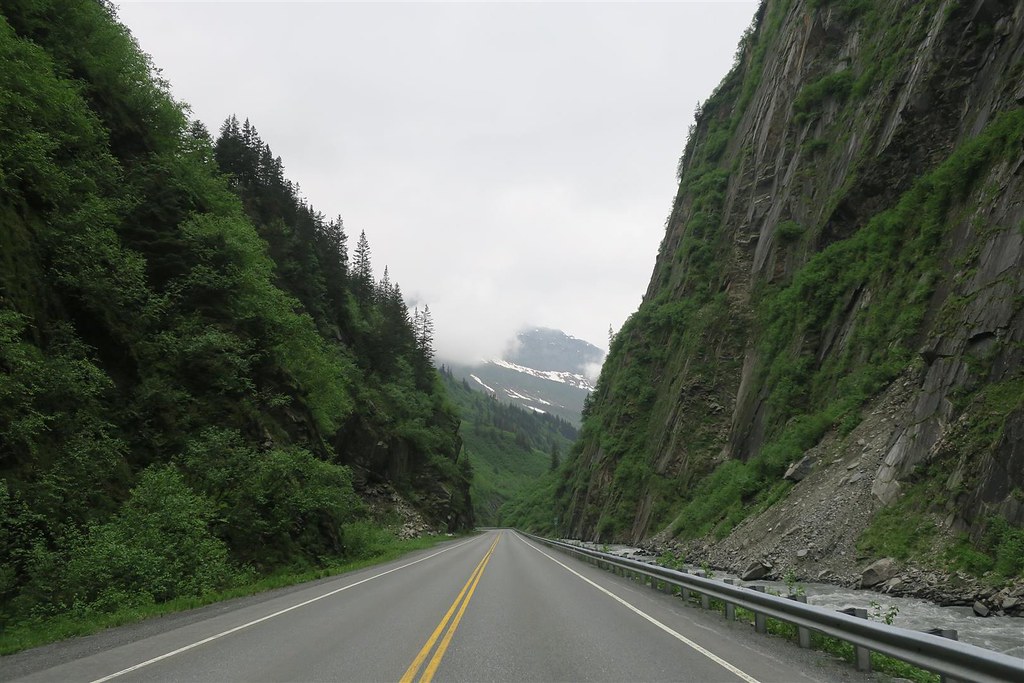
Before reaching Valdez I go through the Keystone Canyon.
This next picture is the Bridal Veil Falls.
and this is Horsetail Falls.
I stay at a motel in Valdez for $165. This is a very good deal for this town.
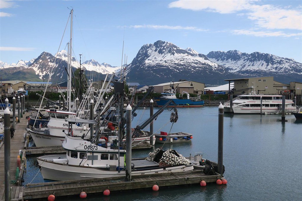
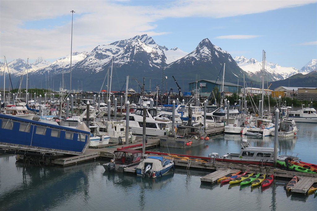
I walk around town and the harbor.
There is a lot of boat tours and fishing excursions. This little boy caught a halibut that was bigger than he.
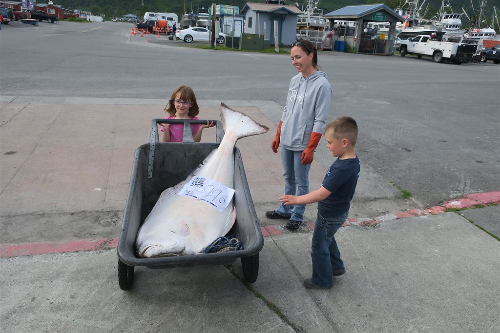
The fish was 99 pounds. The whole family seemed proud of this little boy's catch. I didn't get a picture of his father but he's the one that filleted the fish. There are also shops here that will filet for you, freeze it and ship the fish back home for you.
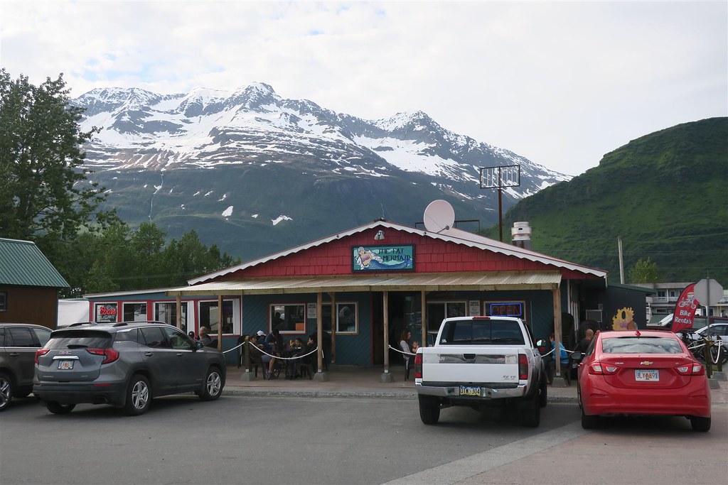
I eat dinner at the Fat Mermaid restaurant. What do I have? An Alaskan Halibut of course.
Today I rode 284 miles.
To be continued ...
This is the Worthington Glacier.
Before reaching Valdez I go through the Keystone Canyon.
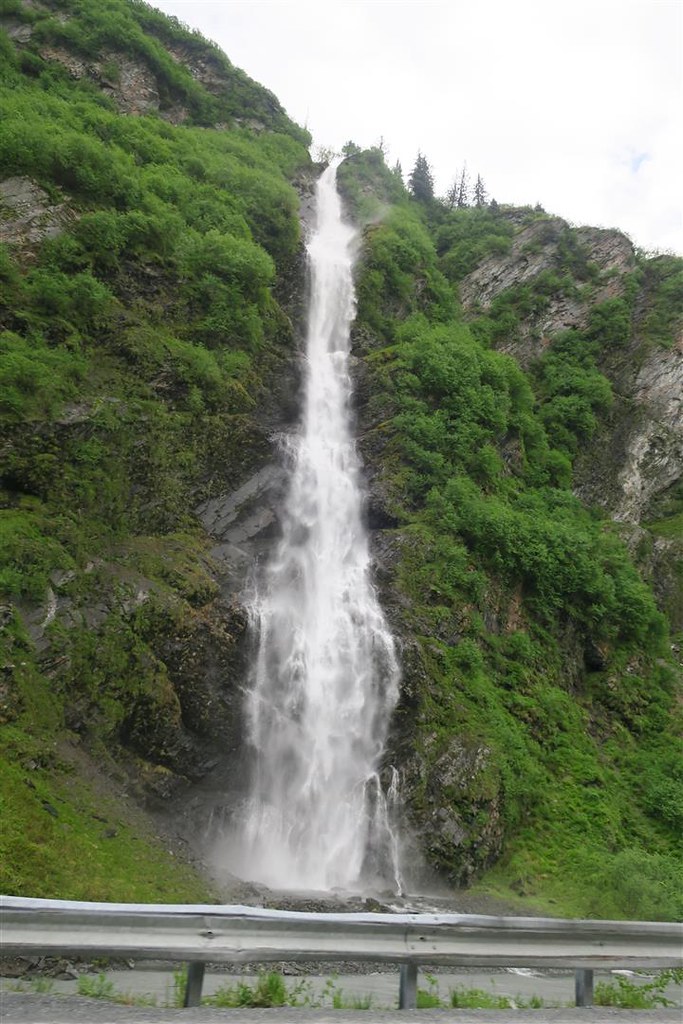
This next picture is the Bridal Veil Falls.
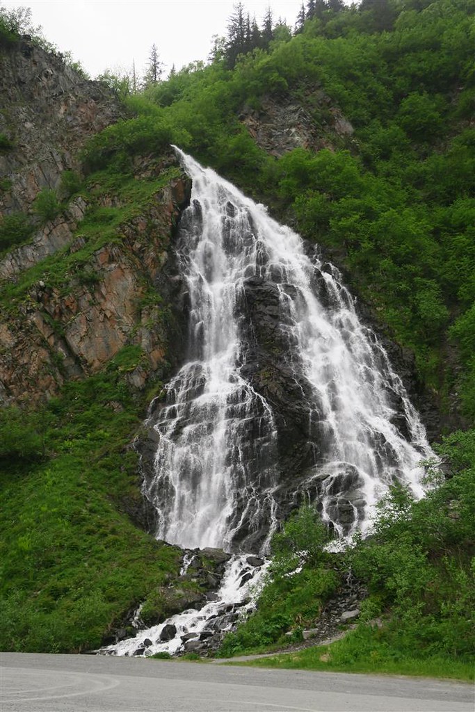
and this is Horsetail Falls.
I stay at a motel in Valdez for $165. This is a very good deal for this town.
I walk around town and the harbor.
There is a lot of boat tours and fishing excursions. This little boy caught a halibut that was bigger than he.
The fish was 99 pounds. The whole family seemed proud of this little boy's catch. I didn't get a picture of his father but he's the one that filleted the fish. There are also shops here that will filet for you, freeze it and ship the fish back home for you.
I eat dinner at the Fat Mermaid restaurant. What do I have? An Alaskan Halibut of course.
Today I rode 284 miles.
To be continued ...

#29
07-05-2018, 06:57 PM
I wake up in Valdez and look out my motel window. I can no longer see the mountains. The clouds are very low and it looks like it will rain soon. I was planning on taking a sightseeing boat tour today but with low visibility and a rainy forecast I decide to leave town instead.
I go back to the Fat Mermaid for breakfast and have eggs benedict. By the time I finish breakfast it�s raining. I put on my rain gear, set my GPS for Anchorage and head out of town. In just 15 minutes it stops raining and the ground is dry.
I head through the Keystone Canyon again.
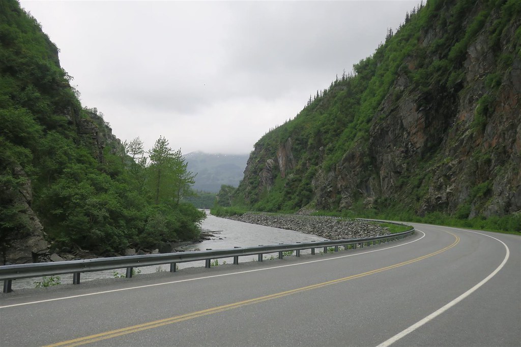
This is an incredible canyon with steep sides and waterfalls.
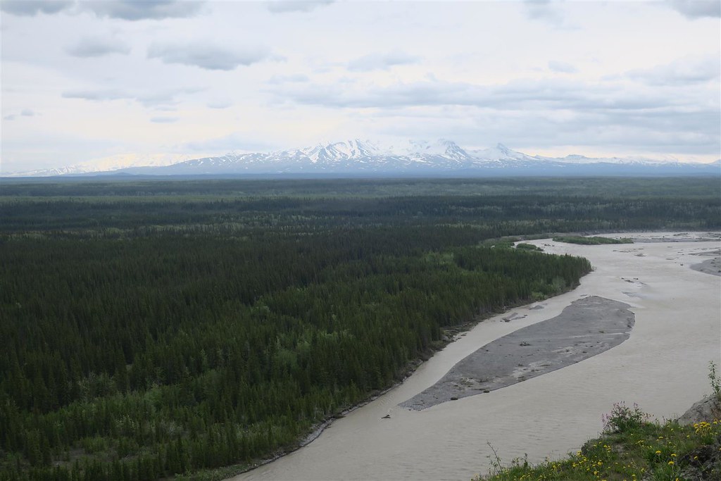
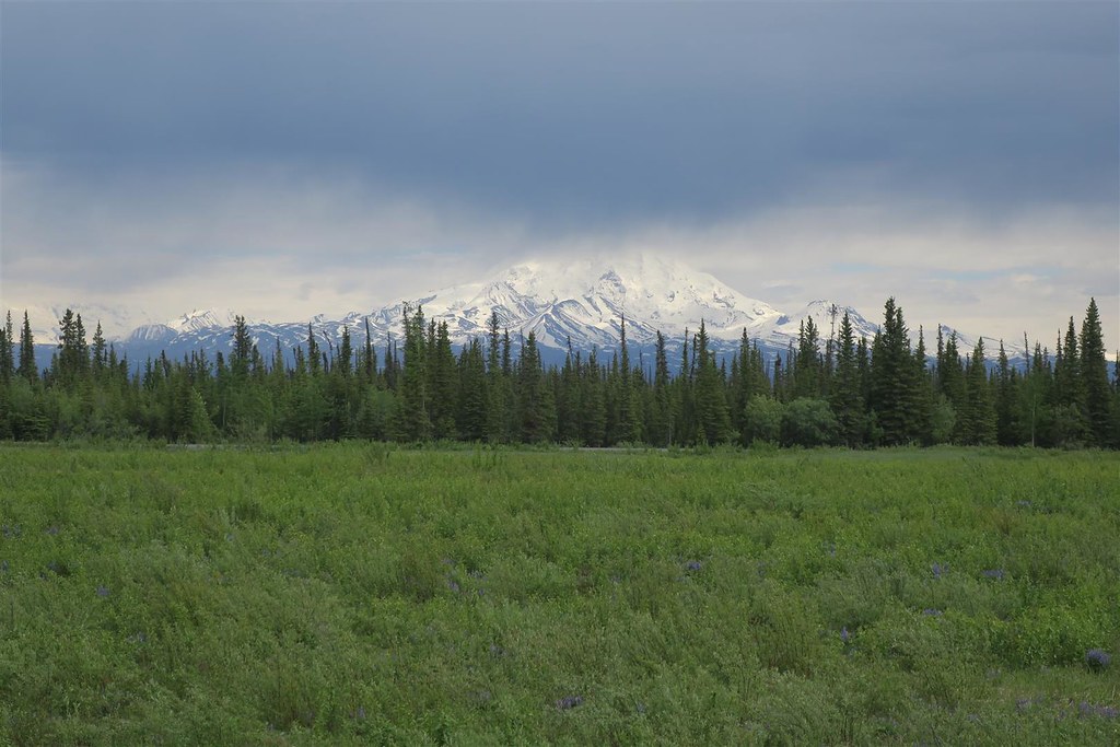
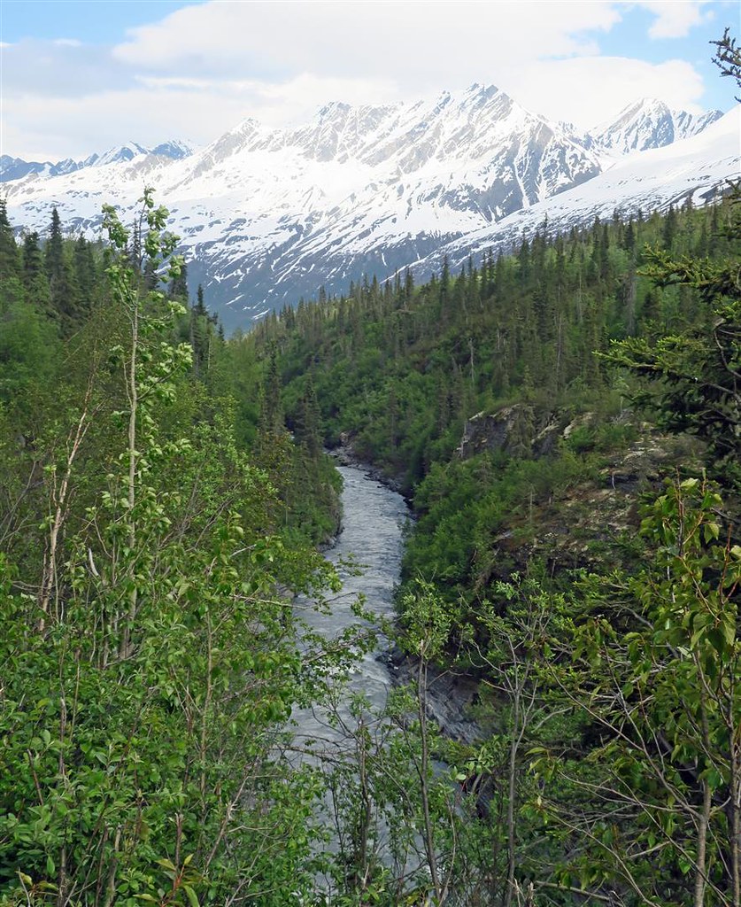
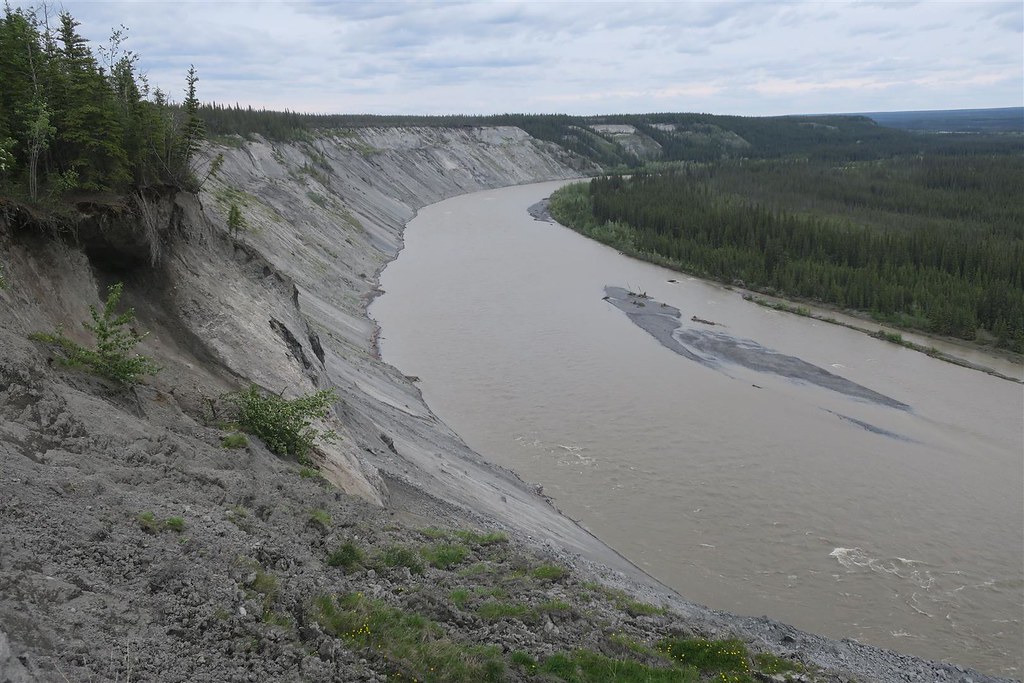
Wrangell Mt and Copper River
When I reach Glenallen I turn west onto the Glenn Highway. Here is a good map of the highways in Alaska.
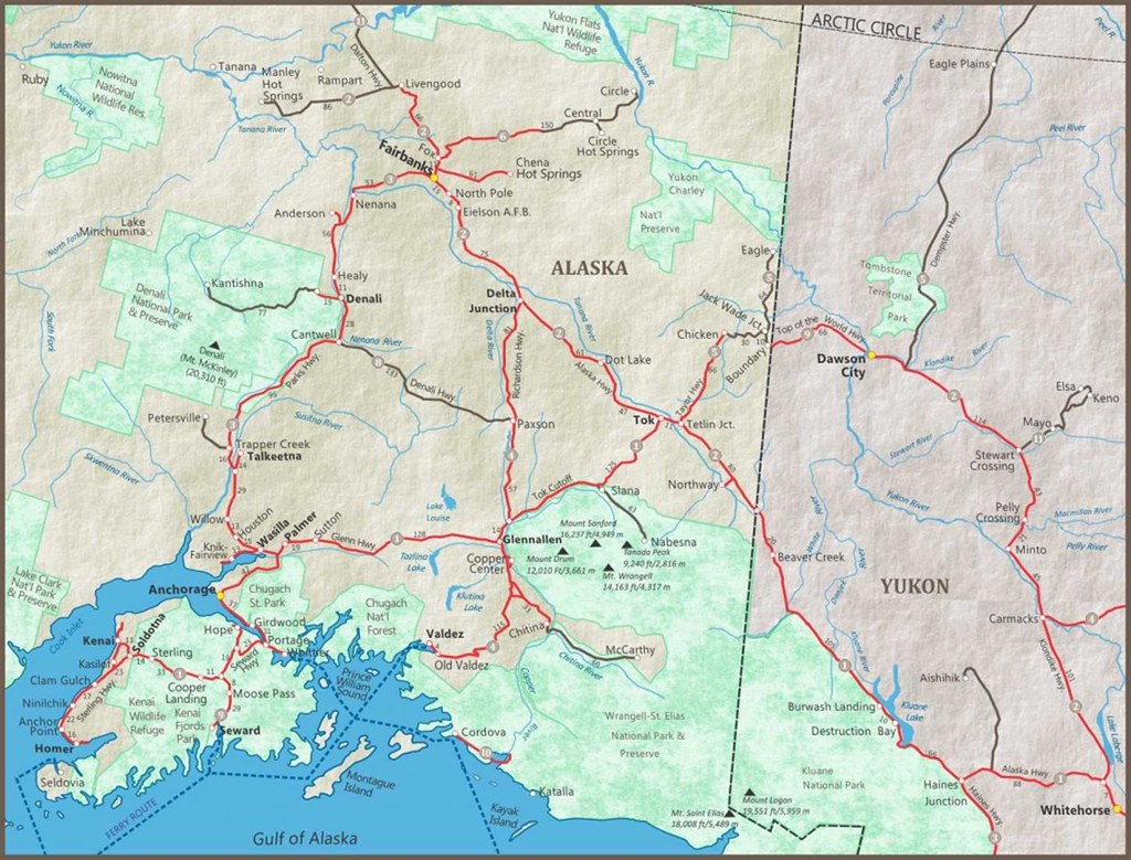
This map only covers southeasten Alaska but that is the only place that you'll find paved highways in Alaska. The red highways are paved. I start in Valdez. It's in the bottom center of the map above. I am working my way toward Anchorage but I don't get very far.
The forecast for Anchorage and the rest of the coast is nothing but rain so I�m in no hurry.
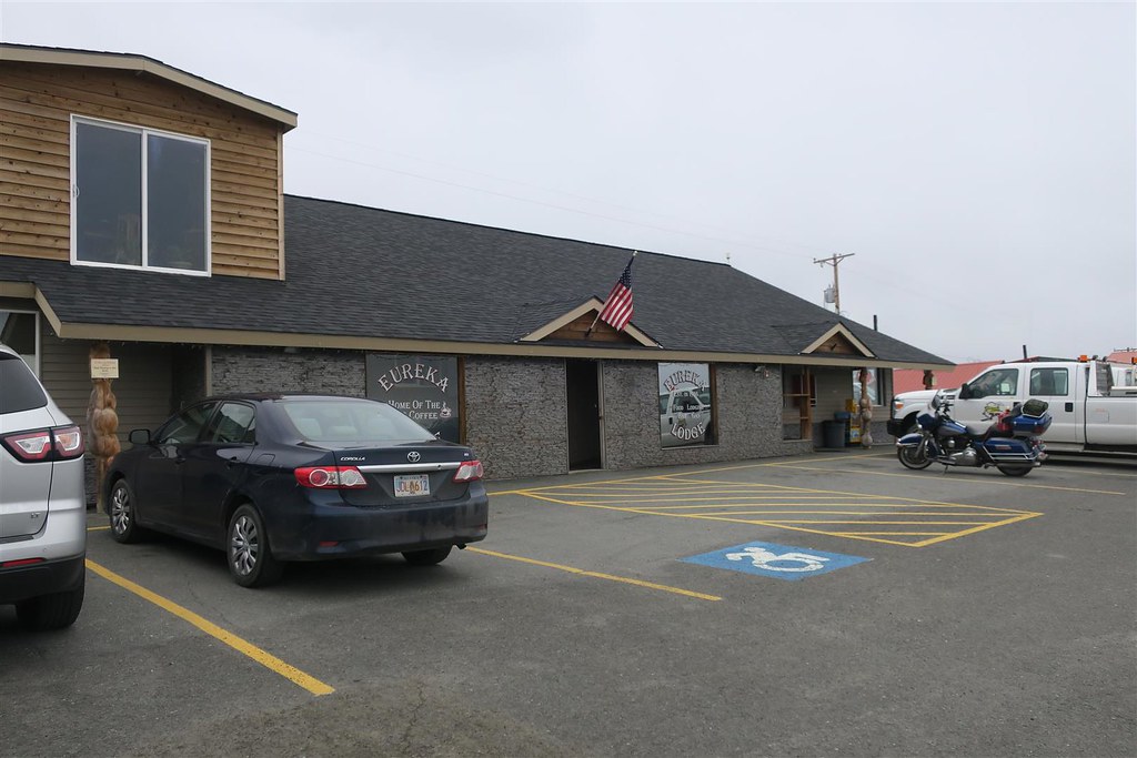
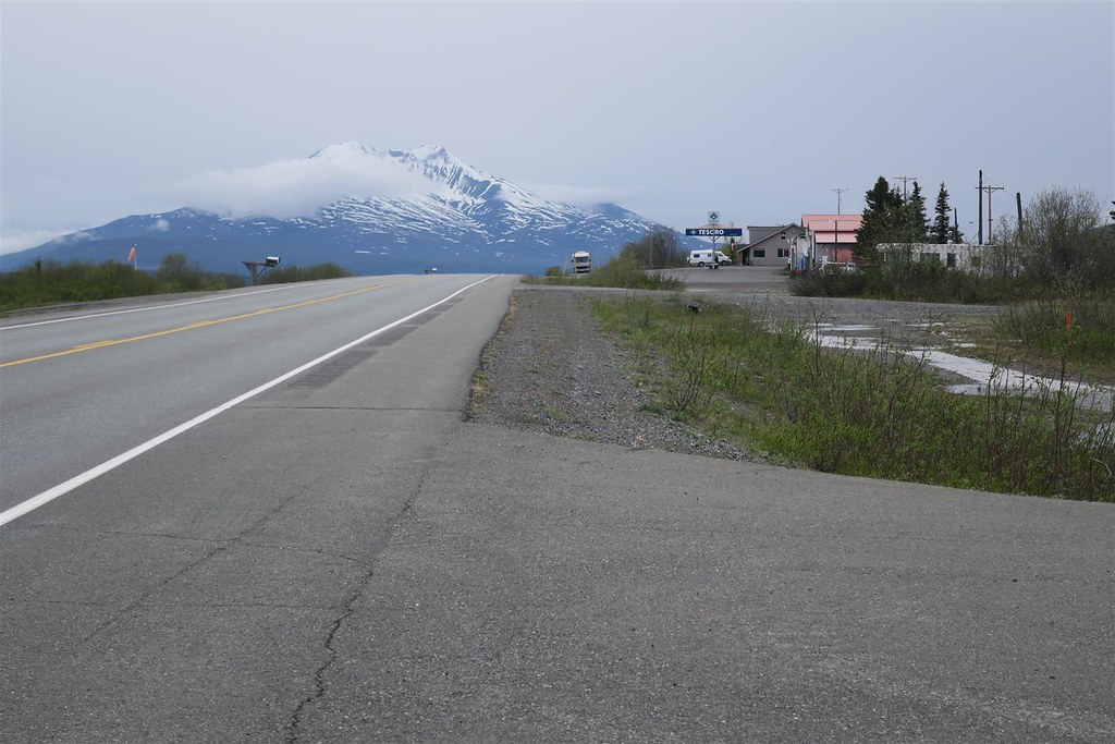
The road gains elevation and I look for a place to stay. I pull over at the Eureka Roadhouse half way down the Glenn Highway. It�s early but I call this home for the night. The rate is $115 per night. I�m happy about that. It�s a lower price than other places in Alaska. Lodging in Alaska is very expensive.
Out front is a Harley Trike and the front tire is so low I can compress it with my thumb. I offer my portable pump and we air it back up. It had 16 psi before I used my pump.
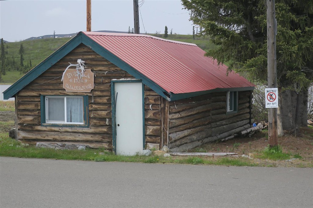
Here's the original Eureka Roadhouse
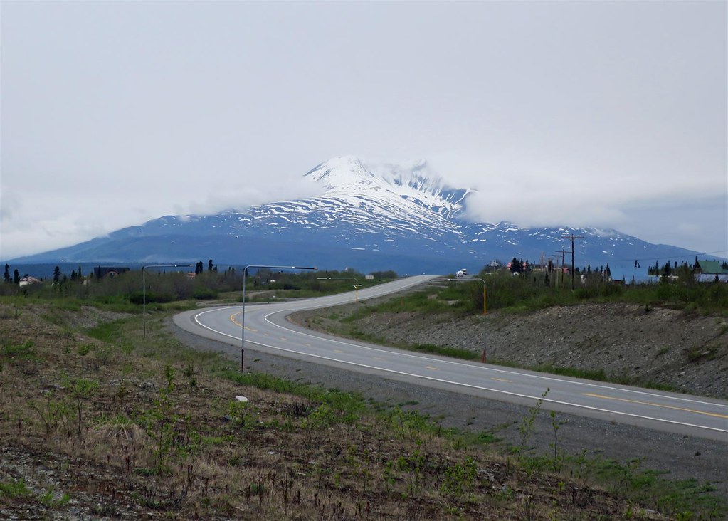
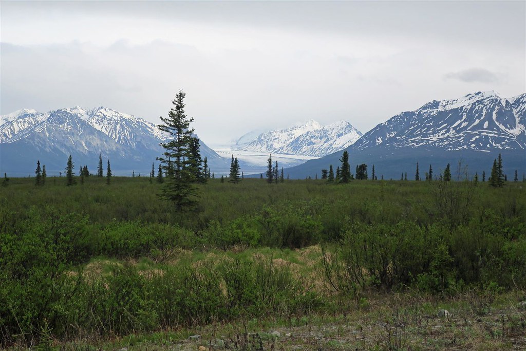
This is a nice location. To the south I can see the Nelehina Glacier. There are lots of glaciers up here, more than the rest of the US.
I take a hike in the evening.
To be continued ...
I go back to the Fat Mermaid for breakfast and have eggs benedict. By the time I finish breakfast it�s raining. I put on my rain gear, set my GPS for Anchorage and head out of town. In just 15 minutes it stops raining and the ground is dry.
I head through the Keystone Canyon again.
This is an incredible canyon with steep sides and waterfalls.
Wrangell Mt and Copper River
When I reach Glenallen I turn west onto the Glenn Highway. Here is a good map of the highways in Alaska.
This map only covers southeasten Alaska but that is the only place that you'll find paved highways in Alaska. The red highways are paved. I start in Valdez. It's in the bottom center of the map above. I am working my way toward Anchorage but I don't get very far.
The forecast for Anchorage and the rest of the coast is nothing but rain so I�m in no hurry.
The road gains elevation and I look for a place to stay. I pull over at the Eureka Roadhouse half way down the Glenn Highway. It�s early but I call this home for the night. The rate is $115 per night. I�m happy about that. It�s a lower price than other places in Alaska. Lodging in Alaska is very expensive.
Out front is a Harley Trike and the front tire is so low I can compress it with my thumb. I offer my portable pump and we air it back up. It had 16 psi before I used my pump.
Here's the original Eureka Roadhouse
This is a nice location. To the south I can see the Nelehina Glacier. There are lots of glaciers up here, more than the rest of the US.
I take a hike in the evening.
To be continued ...
#30
07-05-2018, 08:03 PM
Moderator