12 Fun Rides in the West (Pacific Time Zone)


Some of the Best Riding Roads are Way Out West
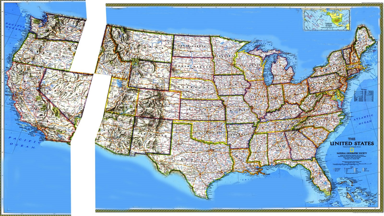
This is the first of four posts listing some of the best rides in a region of the United States. You could divide the country into a bunch of different regions, or even do each of the 50 different states, but for the sake of brevity, each one is roughly going to cover one of the four time zones. This piece will feature, Washington State, Oregon, Nevada, and California; states which have more than their share of great rides to choose from. Unfortunately, for those of you who like to ride free, all five of these states have helmet laws as well.
If you are looking for rides anywhere in the world, a good site to start at is Best Biking Roads, which is where many of the recommendations in this article come from.
1. US-12 Kennewick, WA to Lewiston, ID and Missola, MT - 264 miles
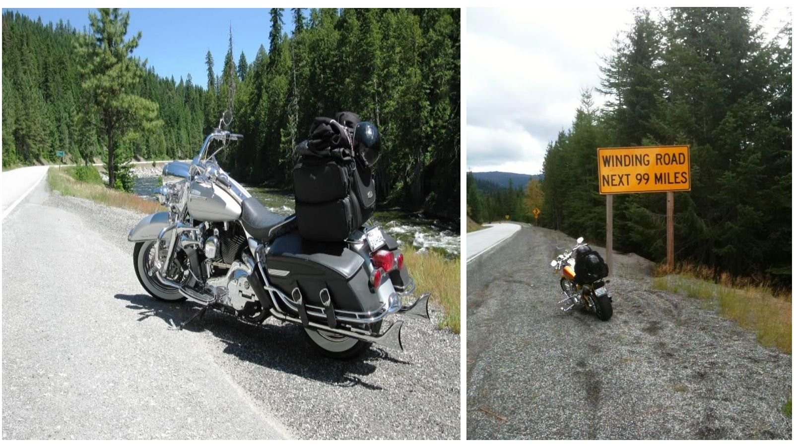
US route 12 actually starts all the way west at the Pacific Ocean in Aberdeen, WA, but gets taken over by Interstate 5, and later Interstate 82. The stretch that starts on the eastern side of Washington State, in Kennewick, where the Columbia and Snake Rivers meet, runs all the way from there to Missola, MT. This long winding road spends about a third of its length in the Nez Perce-Clearwater and Lolo National Forests, and a good spell in the Nez Perce Reservation, so you know you aren't going to have much traffic to deal with. HD Forums' members jad and jmcollision both recommend it, and posted these pictures from Lolo Pass on this thread: Lolo Pass Hwy 12. See the map here.
2. US-2 and US-97 Everett, WA to Grand Coulee Dam Loop - 446 miles
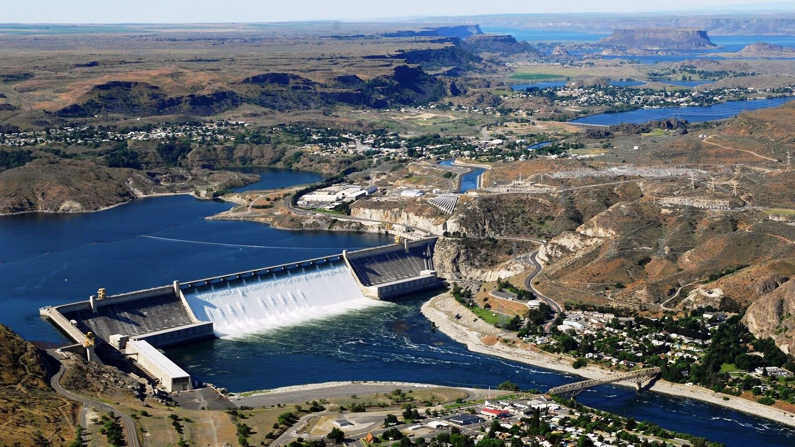
The Grand Coulee Dam produces more electricity than any other power plant in the country, yet the scenery around it is still spectacularly uncluttered by civilization. Follow highway 2 out of Everett, through the unspoiled Okanogan-Wenatchee National Forest, across the Columbia River, until it meets state road 174 at Wilbur. Route 174 crosses the dam, and after a while becomes state road 17 at Leahy, before meeting up with US-97 at the Colville Reservation. You can choose from US-97 or Alt-97, and ride either side of the river south until you rejoin US-2, which will take you back to Everett. See the map here.
3. Mount Rainier Loop, WA - 144 miles
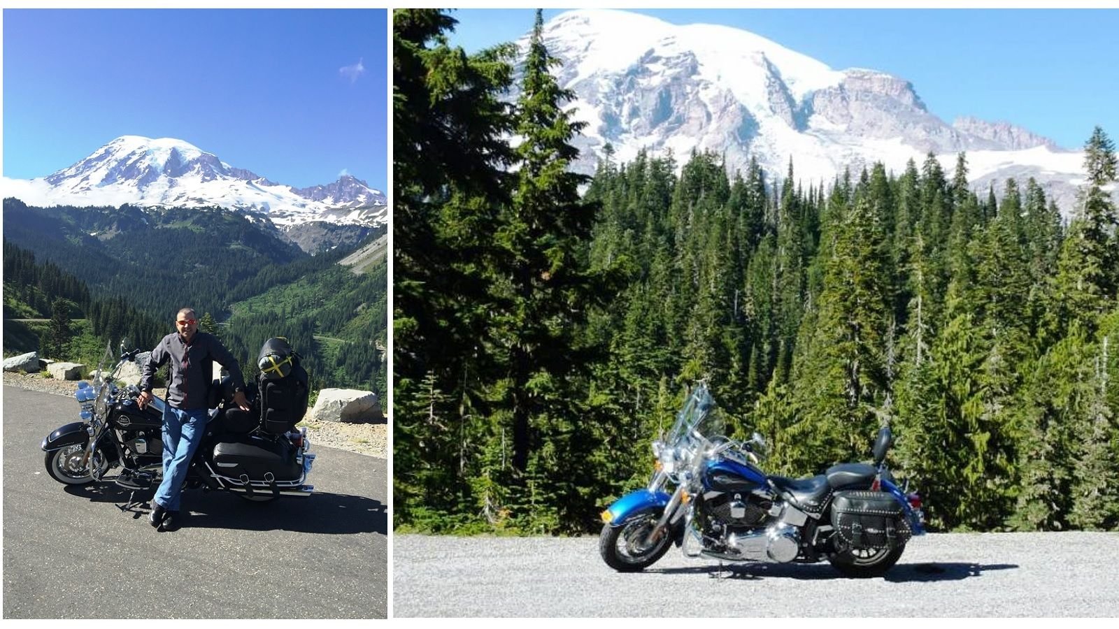
If you have ever been to the Pacific North West, you have seen Mount Rainier, as it is the tallest in the state. HD Forums' members jmoflhrc and baloo posted these pictures from rides there over the past few years. This route takes you all the way around the mountain, in the foothills, mostly on smaller state roads. Starting in Enumclaw, WA head south on Rt-165 toward Buckley, then turn right on Rt-162 and follow it until you hit Orville Rd, outside of Orting, and turn left. Orville Rd is small and winding, but it gets you out of traffic into some nice countryside for 18 miles, running into Rt-161 in Eatonville. Turn Left onto Rt-161, then left again onto Rt-7 a few miles later, and follow Rt-7 till it hits Rt-706 at Elbe. Rt-7 is a tight and twisty road through some spectacular country, with forests and rivers all around you, which officially becomes Paradise Rd somewhere along the way. Paradise Rd becomes Stevens Canyon Rd, taking you to Groves of the Patriarchs Trailhead, and the junction of Rt-123. Turn left and head north on Rt-123 and follow it until it hits Rt-410, then continue north on that road and you will eventually go all the way back to Enumclaw. It sounds complicated, but it really isn't if you look at the map: Mount Rainier Area
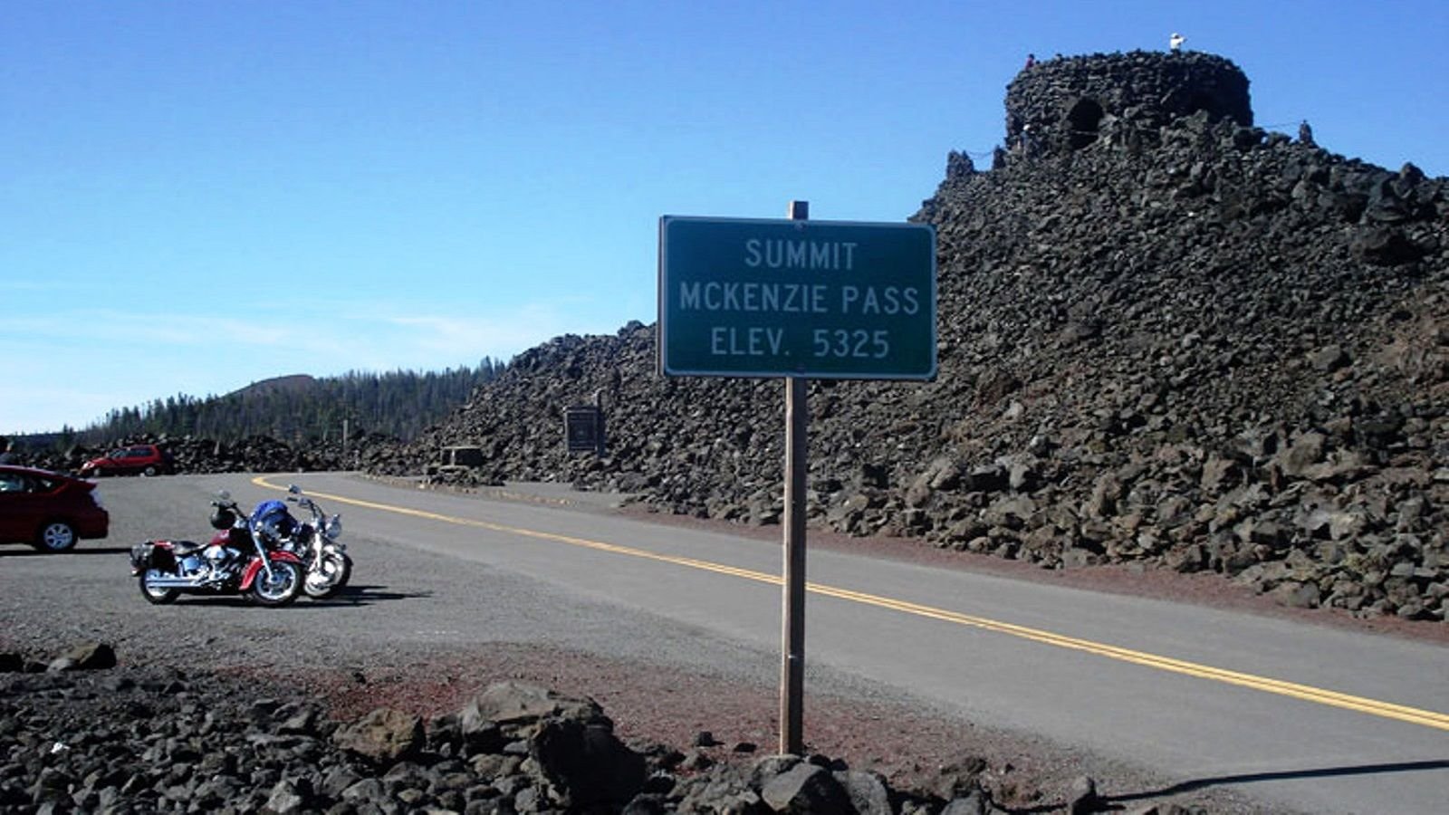
4. Eugene, OR to McKenzie–Santiam Pass Scenic Byway - 133 miles
Oregon has a large and active riding community, much of it centered around the city of Portland, and some great mountain and forest roads to ride. If you are in Eugene, this route takes you through the Willamette National Forest, over Santium Pass, through the tight and twisty McKenzie Pass, and around Mount Washington. Mt. Washington is actually a misnomer, as this nearly 8,000 ft peak is actually an ancient volcano, and the pass goes though an otherworldly 65 square mile ancient lava flow. During the depression, an observation platform was constructed out of the lava, as seen in the picture, known as the Dee Wright Observatory. From Eugene, head east on state road 126 until you get to the junction of 126 and 242, turn right on Rt-242 and enjoy the tightest section of the whole ride, which lasts about 35 miles, until you reach Sisters, OR. Go left at the junction of 242 and US-20, heading west again and you'll pass Black Butte, and Three Fingered Jack on your right, while Mt. Washington is on your left the whole time. Watch for the fork, and bear left onto Rt-126, which you will follow all the way back to Eugene. The loop around Mt. Washington is called the McKenzie–Santiam Pass Scenic Byway. The map is here.
5. Portland, OR to White Salmon-Klickitat River Loop - 200 miles
If you are in Portland and looking for a day of riding, you can really take your pick of dozens of places to go. This route takes you out along the Columbia River Gorge, then up along two much smaller rivers, and through the Conboy Lake National Wildlife Refuge. Technically, most of this ride is in Washington state, and these are Washington State road numbers Head east via state road 14 for about 50 miles, or take Interstate 84 and cross the Hood River Bridge, until you come to the junction with state road 142 at Lyle, WA. Go left and head north on Rt-142 and follow the winding Klickitat River for about 24 miles, until you come to Glenwood Highway, where you take a left. Ride out to Glenwood, WA, where you will take a hard left on Lakeside Road, and head through the wildlife refuge (watch out for elk). Lakeside becomes the B Z Glenwood Highway, and continues until the junction with state road 141 in B Z Corner, WA, where you turn left and continue along the White Salmon River back to Rt-14. See the map here.
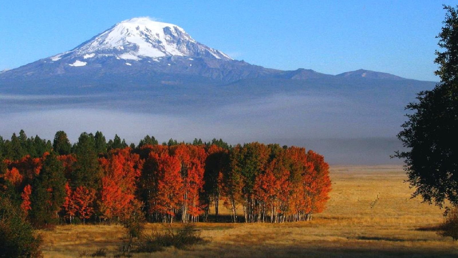
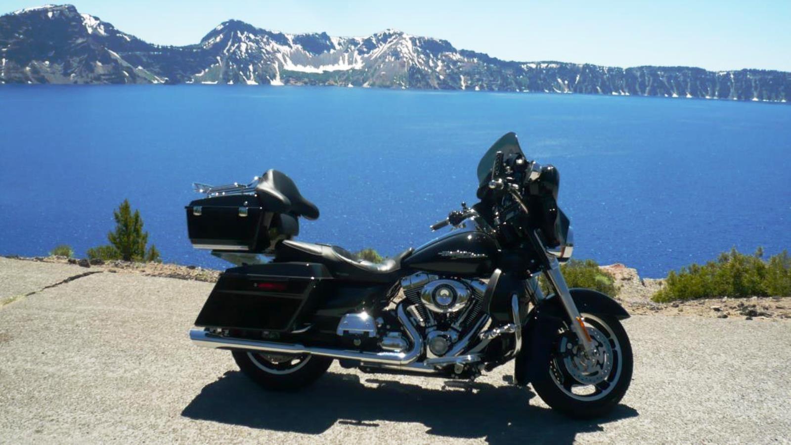
6. Medford, OR to Crater Lake Loop - 200 miles
There are some spectacular gorges and river valleys in Oregon, but the lake made by a collapsed volcano into the earth at Crater Lake is something else entirely. This ride take you from Medford, OR, along the Rouge River, before looping around the rim of the lake. The loop around the lake is only about 50 miles, but expect it to take several hours with traffic and how narrow and convoluted the road is, but the view is worth it. The picture above is via Scubamike from HD Forums. From Medford, head north on state road 62 for about 60 miles, being sure to bear right at the junction with Rt-230, to stay on Rt-62. Turn left on Munson Valley Rd, and follow the signs around the lake on Volcanic Legacy Scenic Byway and Rim Dr (closed in the winters). Head home to Medford the way you came. You may want to take a detour off the rim on Pinnacles Rd, to check out the Pinnacles, a cool spiky rock formation. See the map here.
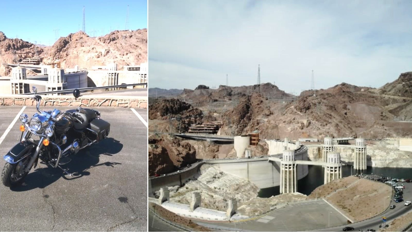
7. Las Vegas, NV to Valley of Fire/Hoover Dam Loop - 185 miles
If you are in Las Vegas, and would rather ride a bike than a stool at a slot machine, head out on this loop for a day of riding. Just 50 miles north of Las Vegas on Interstate 15 is the Valley of Fire State Park, and there is where the fun part of the ride starts. Thanks to 103megawatt and anubiss from HD Forums for the pictures. Exit at Valley of Fire Highway and follow the signs through the park, eventually coming to the intersection with Rt-169 and 167, where you will take a left. Now you are in the Lake Mead National Recreation Area, surrounding the huge lake created by the Hoover Dam. Cruise along Rt-167 enjoying the view of the lake, and the undulating course of the road, until you reach Lakeshore Rd/Rt-564, where you go left to get to the Hoover Dam, or right to head back to Vegas via Interstate 515. To get to the dam, follow Lakeshore Rd until you reach US Highway 93, and head east, following the signs. The trip back to Vegas from the dam is an easy one via US-93, and I-515. See the map here.
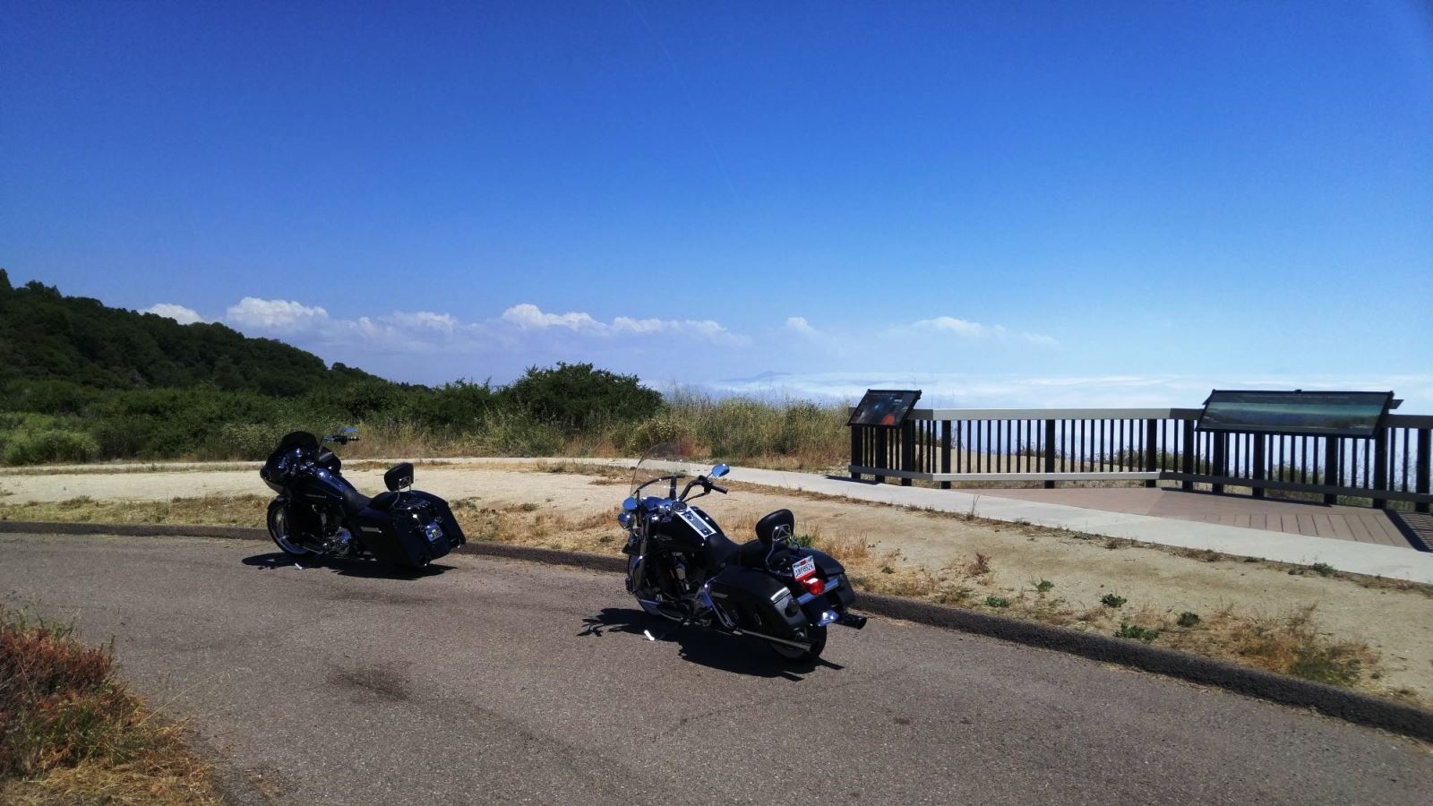
8. Reno, NV to Lake Tahoe Loop - 170 miles
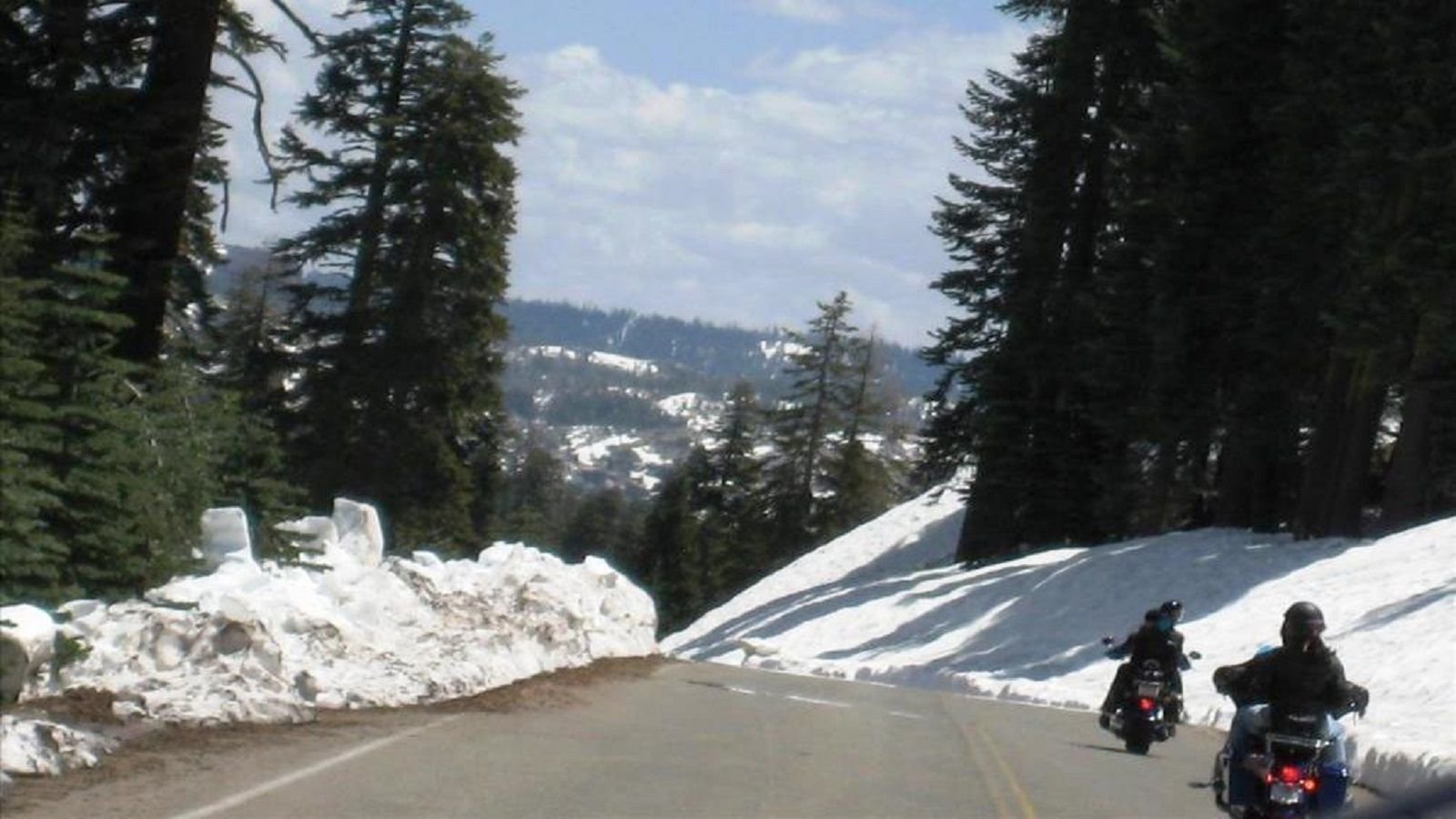
If you are staying at the other big Nevada vacation destination, Reno, this loop will take you out and around Lake Tahoe for a relaxed cruise through some grate mountain scenery. The picture above is thanks to HarleyPartsGarage on HD Forums. From the biggest little city in the world, head south on Interstate 580 toward the lake, exiting onto state road 431, which twists through the mountains all the way to the lake. Take a right on state road 28/Tahoe Blvd, and follow it as it meanders through ski resorts and vacation villages in Nevada and California. Rt-28 becomes Rt-89, which become US-50 as you go around the lake, until you are back at the junction with 431. Retrace your route a few more miles, and turn left on state road 267 toward Truckee. From Truckee you head east on Interstate 80 through the mountains back to Reno. Be careful, there can be snow in the mountains even in May. See the map here.
9. Malibu, CA PCH/Mulholland Loop - 70 miles
It is hard to quantify and qualify all the great roads and places to ride to in California. You could write an entire website just with rides around the golden state, or possibly just the southern part of the state. Use the suggestions in this list as jumping off points to ride other roads in the areas mentioned. This route starts in the San Fernando Valley, just off US-101 (or as the locals say, the 101) in Canoga Park, goes out to Malibu, and back to the valley. The roads covered are some of the less technical in the Santa Monica Mountains, but feel free to explore, as all the roads up here are great. Exit US-101 at Topanga Canyon Rd/Rt-27, and head south. As it twists and turns, you will suddenly come to the Pacific Ocean in Malibu, where you turn right and head north on the Pacific Coast Highway. Follow PCH along the coast until you come to Leo Carrillo State Park, where you turn right on Mulholland Hwy, and head back into the mountains. Follow Mulholland Hwy through the hills and eventually you will land back at Topanga Canyon Rd, just south of the US-101 freeway. Be sure to stop along the way at The Rock Store, on Mulholland Hwy, which is a world famous biker stop, and packed with bikes on any Saturday or Sunday. See the map here.
10. Temecula, CA Wine Country to Palomar Mountain Loop - 75 miles
This loop may only be 75 miles, but the canyon roads involved can get tight enough that it may take two and a half hours to complete it. Thanks to ! Rock103 ! who took this picture while on a Palomar ride. Temecula has a booming wine industry these days, with plenty of places to stop for tastings, plus you have the Pala and Pechanga Indian Casinos nearby for entertainment. Palomar Mountain has always been a destination for health living, which is why Mother's Kitchen, the restaurant near the summit is vegetarian, but the food is so good, you would hardly know it. Starting at the Pechanga Casino, head south on Pala/Temecula Rd until you get to Pala, then turn left on Rt-76. Follow state road 76 until you reach Rt-S6 and turn left again, following this road up to the Palomar Observatory near the summit. Continue down Palomar Divide Truck Trail/Road until the fork for Doanne Valley Rd, and bear left. Follow this road down the hill, then take a right a few miles later on Nate Harrison Rd, which is very tight, so you'll have to take your time, but the ride is great. At the end of your decent, take a right back onto Rt-76, and follow that until Rice Canyon Rd, or Interstate 15 (if you are tired of 2 lanes), and head north back to Temecula. See the map here.
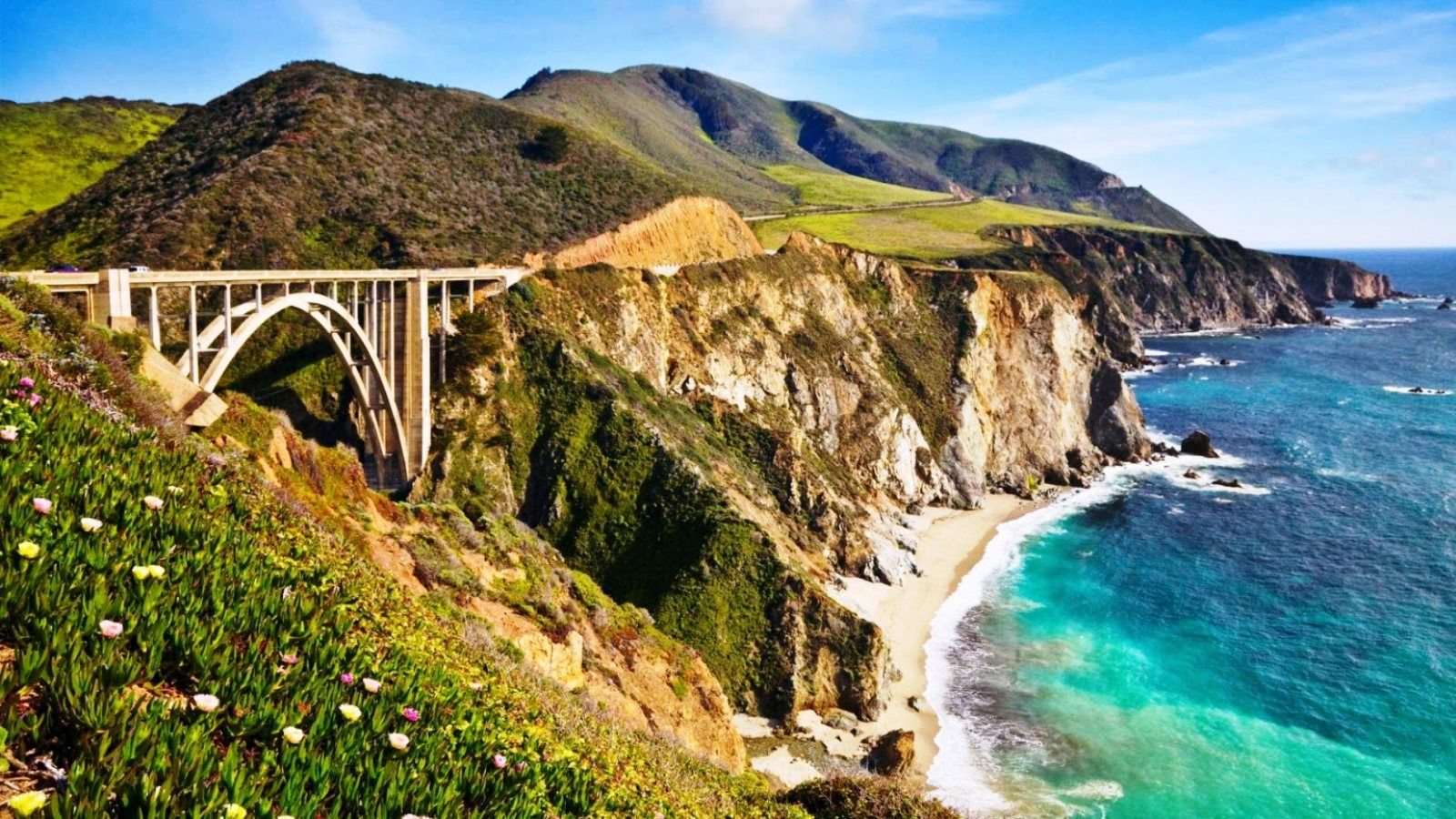
11. Laguna Seca to Buttonwillow Run - 235 miles
Laguna Seca is a legendary road coarse home to some of the premier motorcycle and automobile racing series over the years, and Buttonwillow is one of the most popular new tracks for track days. This is a long ride, but the section of the Pacific Coast Highway between Morro Bay and Monterey is considered the best of the PCH. From Buttonwillow, head west on Rt-58 toward the coast, take US-101 south at Santa Margarita, then hop on the Pacific Coast Highway and head north when it splits off. If you want to take a detour to Paso Robles for wine tasting, head north on US-101 and afterwards take Rt-46 west, to meet up with the PCH on the coast. This part of California Hwy 1 goes past San Simeon, Big Sur, Carmel-by-the-Sea, and eventually Monterey. Even if you are not interested in the road course at Laguna Seca (follow Rt-68), there is the aquarium, fisherman's wharf, and more to do in the area. See the map here.
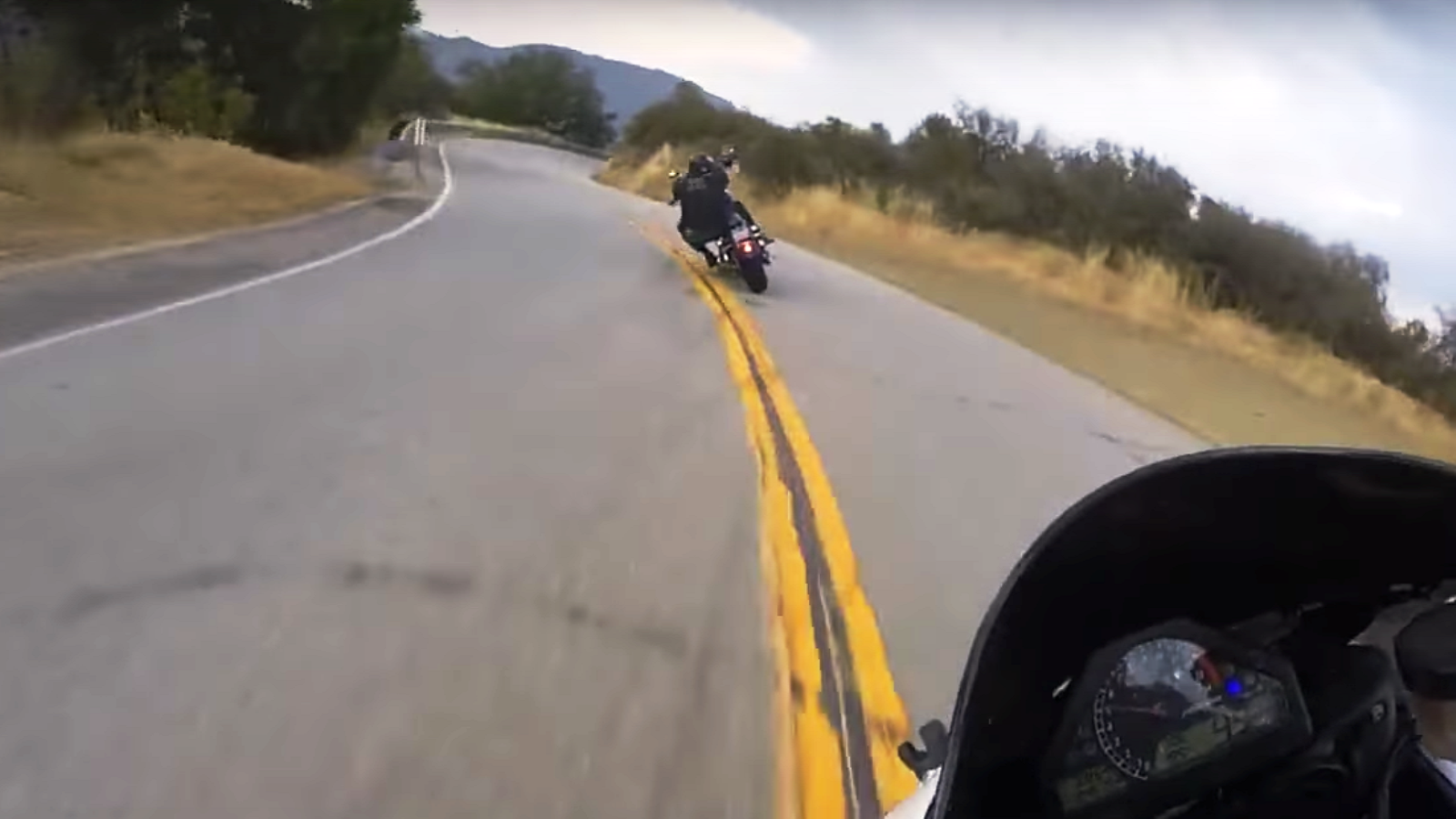
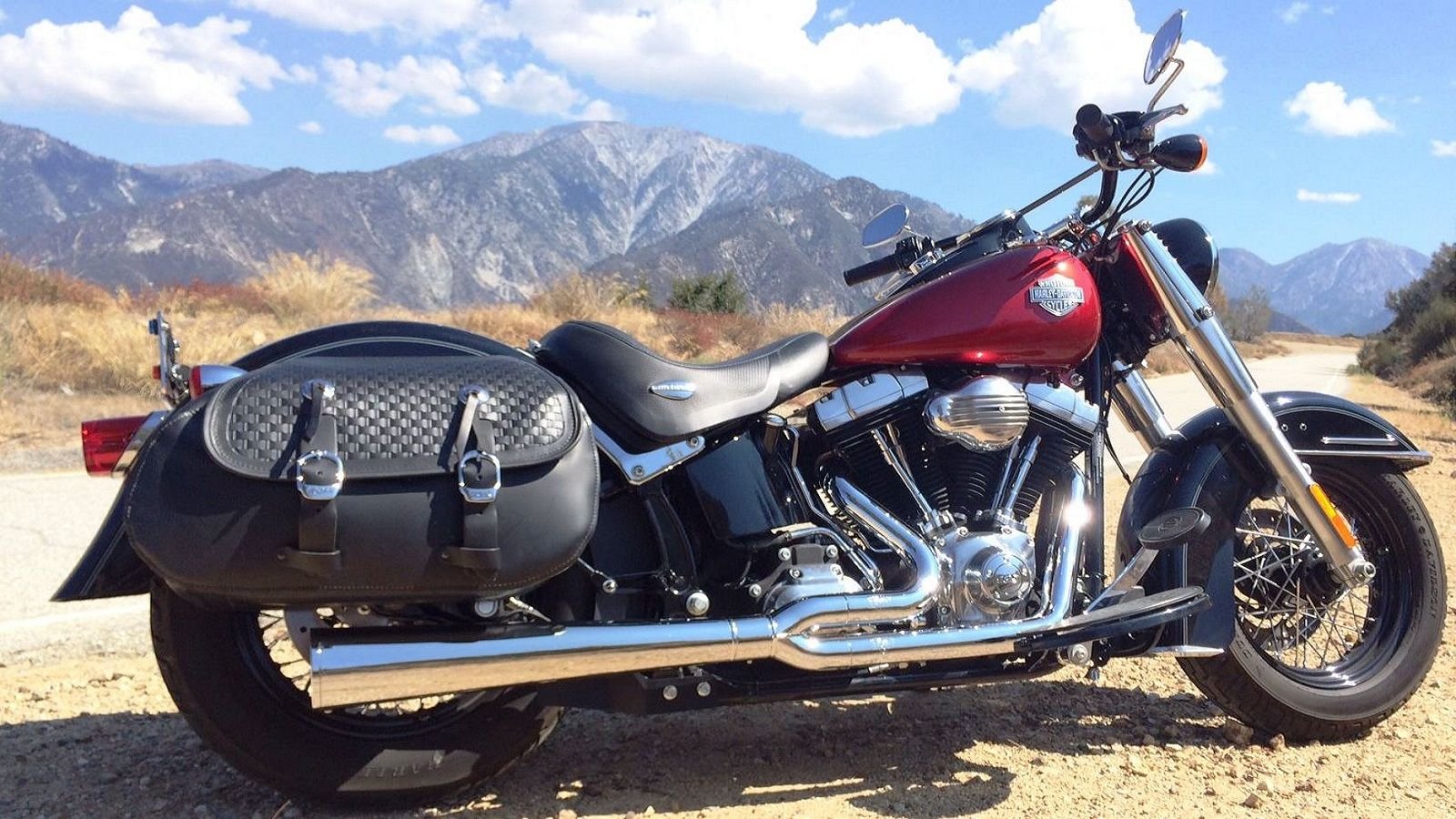
12. Mount Baldy Loop - 60 miles
This loop takes you up into the Angeles National Forest, but not on the popular Angeles Crest Highway (Rt-2), but the more interesting roads leading up to and around Mount Baldy. Thanks to HD Forums member Jetfever for the picture. The two big peaks you see from most of Los Angeles are Mount Wilson, and the typically snow capped Mt. Baldy. Head east out of L.A. toward Azusa, and West Covina Interstate 210 or 10, exiting at the junction of Rt-39/Azusa Ave and heading north. State road 39 meanders into the San Gabriel mountains, following the course of the stream that feeds the reservoir. Keep your eye peeled for the bridge and turn off to the right for East Fork Rd, and stay on this tight mountain road until it heads down and south to meet up with Glendora Ridge Rd. Make the sharp left, and follow this along the ridge past Sunset Peak to Mt. Baldy. There is a ski area up the road, and even in the summer they run the lifts and serve beer and lunch at the Top of the Notch, so it's worth a stop. The ride back into civilization is easier, along the entirety of Mt. Baldy Rd and back to the interstate. See the map here.
And don't forget about all of the helpful How-to guides to keep your bike rolling, or get it back on the road when trouble strikes.