Check out the Rever app. I'm not sure if it is available for iPad, but it is for the iPhone. They also have an excellent website that you can plan your trip and download GPX files, with waypoints, to your mapping software. And the coolest part of Rever is that you can actually plan your route around the best roads using Butler map overlays.
Doesn't Google Maps do the same thing? Example screen shots below done on my iPad:
How are you adding those points on google? I can just get from point a to b
Disregard. I figured it out! I've been wanting to do that for years and didn't know I could. I've been using inRoute as well to do this but it had its flaws. This will be a huge improvement
Last edited by ChickinOnaChain; 04-15-2017 at 01:24 PM.
You guys should all check out the Rever app. It's available on iTunes and provides a lot of cool functionality:
1) Full route planning - including waypoints
2) Rides can be shared with friends or the public (anyone on Rever)
3) It tracks your rides which you can save for future use - or share
4) Tracked rides and planned rides will show elevation changes - which is very cool when you like twisty hilly roads like I do
5) You can take part in challenge rides
6) It's a free app
7) The premium version (which I'm using) provides Butler Motorcycle Map overlays so you can clearly see the best motorcycle roads based on real riders' input - the premium cost $5.99 per month
Check it out. And no, I am not a paid spokesperson.
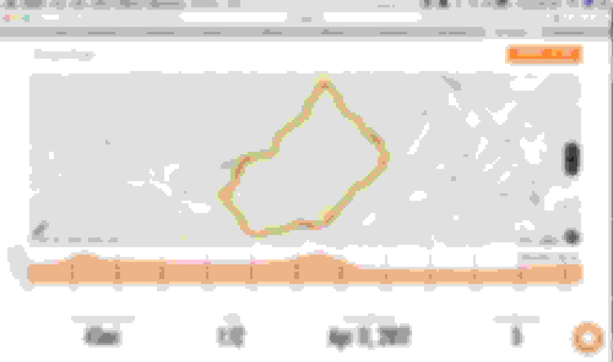
Here is what the Rever app looks like for a planned ride. In this case, I am planning a ride to the Devil's Triangle in northeast TN>
My planned ride to the Devil's Triangle. This can be downloaded as a GPX file.
Last edited by ChickinOnaChain; 04-15-2017 at 01:25 PM.
Disregard. I figured it out! I've been wanting to do that for years and didn't know I could. I've been using inRoute as well to do this but it had its flaws. This will be a huge improvement
I think it's just been in the last year or so Google supported adding way points in their phone/tablet version.
 04-06-2017, 12:28 PM