


Route Mapping

Thread Starter
|
Road Captain
Joined: Oct 2011
Posts: 513
Likes: 17
From: Parrish, Fl
Hello All,
For Christmas one of my offices gave me a great gift knowing I am new to this area of Florida. It is a book detailing some of the best ride routes in my area. I am excited to get on the road and ride these routes and visit the biker friendly spots along the way.
1 problem, how in the hell can I load these custom routes into my phone so that I can use my map GPS to guide me through these routes so I don't have to photo copies these pages or memorize the route?
Is there not an easy way to load custom routes into the phones map app?
I assume this is a common thing. What are you guys doing to create your custom route maps? I don't want the shortest distance, I want these custom routes.
Thanks everyone.

Road Warrior
Joined: Jul 2012
Posts: 1,521
Likes: 185
From: Ft Myers FL
Going from paper maps to phone to GPS? Jeez...I don't think they make that program yet......best way to program the GPS using point to point input....make sure shortest and highways has been disabled on your GPS....should take a few minutes before you leave every mornings....you should be able to save the routes on your GPS for future use...

Road Master
Joined: Jul 2010
Posts: 784
Likes: 56
From: Eastern Iowa
Love pulling out a paper map and getting the big picture.
My routes are always subject to change.
Besides, I can draw/'highlight on the paper.
I like to use a highlighter on sights I might like to visit.
My routes are always subject to change.
Besides, I can draw/'highlight on the paper.
I like to use a highlighter on sights I might like to visit.
Thread Starter
|
Road Captain
Joined: Oct 2011
Posts: 513
Likes: 17
From: Parrish, Fl
The book is Finz Finds Scenic Rides in West Central Florida.
I thought for sure there would be a way to go into google maps on a PC and route specific course and then send it to your phone but when you do that it still defaults to shortest route so no luck.
I thought for sure there would be a way to go into google maps on a PC and route specific course and then send it to your phone but when you do that it still defaults to shortest route so no luck.
Tourer
Joined: Nov 2015
Posts: 497
Likes: 187
From: Dallas area
Exactly! I plan a route before the trip on HD Ride Planner then go the opposite way of the OP - highlight it on the road atlas. It always changes somewhere. Not worried about making a "wrong turn". Some of the best roads I've been on or stuff I've seen have been a wrong turn.

Seasoned HDF Member
Joined: Feb 2007
Posts: 6,088
Likes: 1,128
From:
It would seem that an application is available from seller of the product.
http://finzfinds.wixsite.com/scenicrides
http://finzfinds.wixsite.com/scenicrides
Trending Topics
Seasoned HDF Member
Joined: Feb 2007
Posts: 6,088
Likes: 1,128
From:
For major rides,
I like to use google earth to create or study routes.
At home, it allows me to "see" the ride in satellite detail and view pictures that others have posted in the area.
I then check-out if Roadside America has something nearby worth seeing and review my Madmaps for suggestions.
Then i look at tripadvisor to pick-up some neat places to eat, visit or reserve overnight stays along the way.
My route is then entered into the HD ride planner GPS program with multiple way points and a printed copy with notes is placed in the bag for backup.
It has worked well for me on many multi-day trips.
But this set-up is more for touring than a 3 hour ride.
HD Forum Stories
The Best of Harley-Davidson for Lifelong Riders

Jason Momoa Is Turning Classic Harleys Into PHEVs
Verdad Gallardo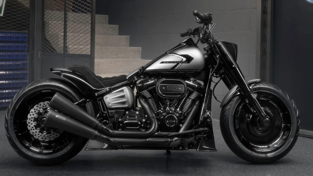
Harley-Davidson Fat Boy Becomes a Dark, Decepticon-Inspired Custom
Verdad Gallardo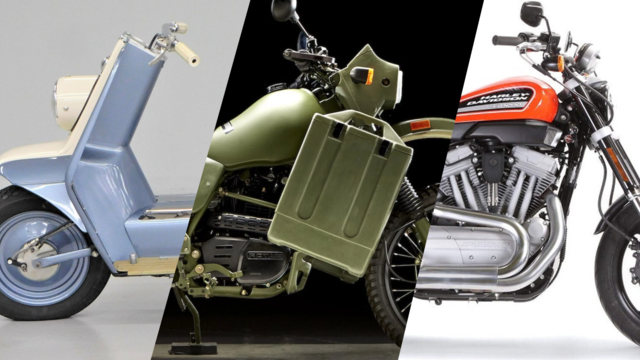
6 Weirdest Harley-Davidsons Ever Sold to the Public
Verdad Gallardo
7 Times Harley-Davidson Chucked Tradition Out the Window
Verdad Gallardo
7 Surprising Harley-Davidson Products that Are Not Motorcycles
Verdad Gallardo
8 Best Harley-Davidson Motorcycles Ever
Pouria Savadkouei
10 Worst Harley-Davidson Motorcycles Ever
Pouria Savadkouei
Killer Custom's Jail Break Is The Breakout That Refused to Blend In
Verdad Gallardo
Crazy Bunderbike Build Looks Amazing, But Is It Impossible to Ride?
Verdad GallardoOutstanding HDF Member


Joined: Jul 2014
Posts: 3,133
Likes: 504
From: Lake County, IL
If Google Maps still lets you save routes, you can do that, after creating them on a PC, then recall them on your phone. Make sure you put in waypoints that keep the app from changing the route.

Intermediate
Joined: Oct 2017
Posts: 40
Likes: 12
From: mississippi
there are no wrong turns
you just decide to take the scenic route on the spur of the moment instead
I use paper maps like the idea of being able to high lite the main course //us google to look up any interesting areas along the way
mule
you just decide to take the scenic route on the spur of the moment instead
I use paper maps like the idea of being able to high lite the main course //us google to look up any interesting areas along the way
mule