


GPS Question
Seasoned HDF Member


Joined: May 2006
Posts: 6,500
Likes: 332
From: Blue Grass (KY)
Garmin 378 and 478 has both street level mapping and coastal waterway mapping....use it for both boat and vehicles, also waterproof...plus you can subscribe to Nexrad weather and get real time weather on the GPS....about 30.00 a month, but for boaters I can see where it could save your bacon out on the water.
Tourer
Joined: Jul 2006
Posts: 352
Likes: 0
From: Washington
I use a Garmin 172 on my boat - it takes BlueChart marine map cards and can also take data from CDs and other sources. But, it would be way too clunky to mount on a bike. But give that the 172 does what you suggested, I bet many of their other units can take marine charts and road maps. Try looking at West Marine and see what they have. Good luck
Road Captain
Joined: Sep 2007
Posts: 588
Likes: 2
From: Naugatuck, CT
Magellan 2500T is a good cross over GPS with Waterway and topigraphical mapping. Its water resistant as well. I have the 2200T and purchased the cross over feature recently. Its a good unit with some nice fetures. I will say its not a Zumo though, but then again its not even close to the price of the Zumo
Frank
Frank
Trending Topics
Look in to a Garmin 178c I have used this for years on the water when I was a Charter Boat Capt.
HD Forum Stories
The Best of Harley-Davidson for Lifelong Riders
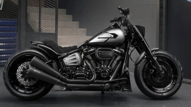
Harley-Davidson Fat Boy Becomes a Dark, Decepticon-Inspired Custom
Verdad Gallardo
6 Weirdest Harley-Davidsons Ever Sold to the Public
Verdad Gallardo
7 Times Harley-Davidson Chucked Tradition Out the Window
Verdad Gallardo
7 Surprising Harley-Davidson Products that Are Not Motorcycles
Verdad Gallardo
8 Best Harley-Davidson Motorcycles Ever
Pouria Savadkouei
10 Worst Harley-Davidson Motorcycles Ever
Pouria Savadkouei
Killer Custom's Jail Break Is The Breakout That Refused to Blend In
Verdad Gallardo
Crazy Bunderbike Build Looks Amazing, But Is It Impossible to Ride?
Verdad Gallardo
Harley-Davidson Reveals Super Cool Cafe Racer Concept
Verdad Gallardo
Thread
Thread Starter
Forum
Replies
Last Post