When you click on links to various merchants on this site and make a purchase, this can result in this site earning a commission. Affiliate programs and affiliations include, but are not limited to, the eBay Partner Network.
Thanks a lot for taking the time to look in to this. The difference between what you show in the .GPX 1.1 format versus the Boom 2019 format don't account for the confusing mish-mash of purple route lines that I originally posted. It looks like that might have to remain a mystery that only the engineers at Naviextras can address, and of course, there's no way to reach Naviextras.
I have a couple of additional questions that someone might be able to help with:
What's the difference between the Track and the Route?
When I put the USB stick into the bike and tell the Nav to Import the route, it asks me what I want to Import. I saw a video posted somewhere in these H-D Forums where the guy said to "Import All", so that's what I've been doing. I wonder of there's an alternative to that?
...What's the difference between the Track and the Route?...
A GPX file can both contain Routes and Tracks.
A route is just a (relatively small) set of waypoints and each navigation device/app will calculate the "best" way to go from one to the other (in order), based on its own map material, software and settings. Therefore, you are likely to get differences between separate devices/apps.
A track is an highly detailed description of the path to follow and uses a "breadcrumbs" like path with many trackpoints.
A track is either the representation of a pre-calculated route (based on the planner's map and settings) or a representation of a recorded route. On devices/apps that can handle tracks, this should lead to the track being the same across all of them.
The MRA's GPX 1.1 format contains both a track and a route (unless you select the option without the route) whereas the Boom2019 format only contains a route.
Track in green and route in maroon from your gpx1.1 file
Route (crowsflight) in maroon from your Boom2019 file:
Here's the route when calculated in BaseCamp and/or your gps device depending on the settings and used map:
...When I put the USB stick into the bike and tell the Nav to Import the route, it asks me what I want to Import. I saw a video posted somewhere in these H-D Forums where the guy said to "Import All", so that's what I've been doing. I wonder of there's an alternative to that?
My guess you're referring to these posts?
Originally Posted by Hammz
Steelerdude -
Looks like you are a fast study.
Tips?
Ride Planner (RP) adds new "routing points" as destinations, right click & change to waypoints
Routes are saved as "?.GPX" files
RP routes have start & end destinations
RP GPX files can & will contain multiple routes if the planned route contains multiple destinations
RP GPX file names are not necessarily the same as the ROUTES contained within that GPX file
GPX files are HTML code format; if you know HTML, any text editor can be used to modify the HTML code
USB stick is required to import routes into 6.5GT
format your USB stick as FAT32
GPX files must be in the USB drive root directory
when importing a GPX file that contains multiple ROUTES the 6.5GT provides the option to import "ALL" or just specific ROUTES which will be listed by name below the ALL option
ROUTE specific names, as displayed in the import menu, will be available to choose under the "where to, routes" menu but the GPX file name will not
while up to 99 waypoints can be used within a route, better performance is seen by limiting to <55 points
for best results getting the planned route to match the actual 6.5GT directions, plan your route as shortest & then set 6.5GT preferences to shortest as well
while running a route, you can stop & shut off the bike; when you restart, wait until the Nav becomes ready before proceeding (not waiting for Nav to be ready will confuse the gps & cause incorrect directions)
I'm sure I could think of more tips, but this list should get you going.
Originally Posted by FinalShot
It seems to be a frequent question here on how do you create and import a route in to the BOOM GPS and follow the route. I have been threatening for the last couple of months, to create a video. I am by no means a video producer or editor but I hope this helps.
The 8 minute video covers creating a route with way points in HD Ride Planner and Tyre and saving the gpx file. Then, It moves to bike side for how to import and use the route you imported. I hope you enjoy and I don't make an *** out of myself.
Actually, saving as the BoomBox 2019 format creates a Track file. Please see this screenshot of MRA's "Save As" menu.
At MRA they call it a track. This is a bit confusing. In terms of BaseCamp both HD formats produce routes. The pre 2019 format produces a file containing all waypoints and the uncalculated route.
The Boom2019 format contains only start and finish waypoint plus the uncalculated route
I assume that's why they call the Boom2019 format a track although it's not composed of "breadcrumbs" like a track in the gpx1.1 format.
The only 2 things that would cause what u have seen is 1 a way point out in left field
or 2 the return trip deviates from the original route and u imported multiple routes. I have been building routes with MRA since around beginning of 14 for my 2014 cvo ultra and also my 2019 RGU and now on the 2022 cvo RGU I save as pre 19 and 19 and up. From the very beginning of BoomBOX there were warnings to always Import ONLY the filename of the route that u built never use all. With the boombox 4.3 or 6.5 if you loaded ALL with a couple decent size routes u would fill the memory and the only fix was to do a Hard Factory Reset don't ask how I know but I did a lot of resets. The only other comment i will make is someone posted that 19 and up only saves start and end points I don't believe that is correct because Every Route I build has what I call a waypoint after each turn that involves road name change when I save that route as a 19 and up them little yellow flags show up right where i left them either on the road or out in the " middle of a field if I am lazy or in a Hurry." The avoidance settings when the GPX file is saved should match avoidance settings of the GPS being used as close as possible. I have not found a better Route program Still looking. I do run Waze a lot on my phone at the same time as myGPX file on the Boombox to keep up with traffic and Smokie Reports. Anyone looking for some great route files around the western NC mountains should check out MAGGIEVALLEYRIDES web site or facebook page.
14CVOUltra: This is very helpful, thanks. So for both your 2019 and 2022, you save your routes as HD Boombox 2019?
I also saw on the MRA support site that I should make the HERE (MRA /Garmin) map my starting template, rather than the original Default (OpenStreetMap). Again, I have not noticed any difference in the performance of the Routes using the HERE template. Although as I said earlier, between the route software, the .GPX file, and the HD Nav system, I have the LEAST confidence in the HD Nav system.
That is correct 19 and 22 save as HD Boombox 2019
If u were to build a route with open street maps and then switch to Here u
will see some small amount of different routing . I go back and forth some times mostly
use Here for the couple extra features it has available. I have very very few issues with the 19 and
up boombox. Now the old GT still has bugs from day 1.
One Of the ways that I use the Boombox is to look at a paper map pick small towns
50 to 100 miles apart in the general direction I want to head load them in the boom
in the order u want to go. Set all your avoidance choose scenic or twisty and head out
You will be amazed at some of the roads u find. you should give it a try.
7 Surprising Harley-Davidson Products that Are Not Motorcycles
Slideshow: The bar-and-shield logo shows up on far more than motorcycles, some of the company's most unexpected products have nothing to do with riding.
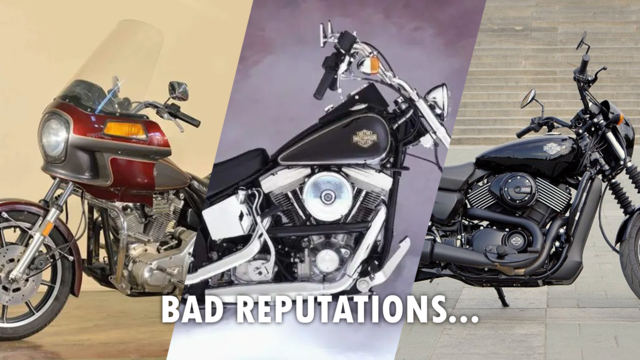
Slideshow: From the troubled AMF years to modern misfires, these bikes earned reputations for reliability issues, questionable engineering, or disappointing performance.
Crazy Bunderbike Build Looks Amazing, But Is It Impossible to Ride?
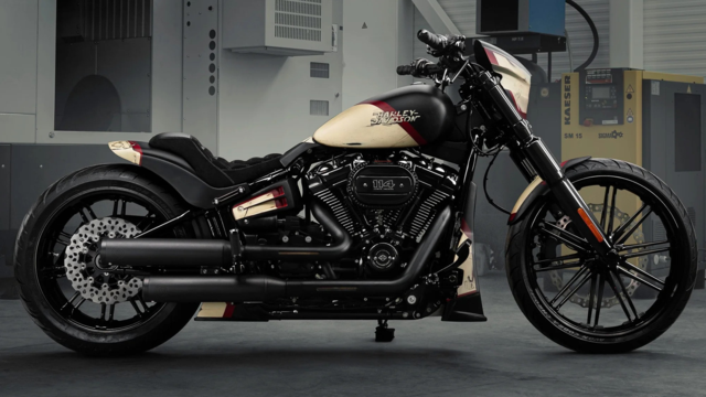
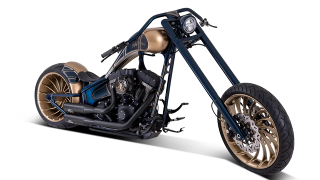
Slideshow: The Swiss custom shop has taken a Harley Softail and stretched it into something so long and low that it looks closer to a rolling sculpture than a conventional motorcycle.
Engraved Rebellion: Inside Bundnerbike's Glam Rock II
Slideshow: A standard cruiser becomes an intricate metal canvas in the hands of a Swiss custom house known for pushing Harley-Davidson platforms far beyond their factory brief.
Slideshow: Harley-Davidson's challenges aren't abstract; they show up in dropping shipments, shrinking dealer traffic, and strategic decisions that aren't yet translating into growth.