When you click on links to various merchants on this site and make a purchase, this can result in this site earning a commission. Affiliate programs and affiliations include, but are not limited to, the eBay Partner Network.
Buck 05 - Kansas City to Key West to Madawaska to Blaine to San Ysidro to home. The four corners tour but not going to try for 21 days. I want to stop and smell the roses along the way. Thinking 40-45 days.
Thanks for the info on my phone. I am aware that I can do these things on my phone but was looking for a camera to do this. Iphone photography is somewhat limited. Want to have more options to take better photos. Once in a lifetime trip and want to have a great photo record of my travels.
Sounds like a great trip. I can see the desire for a dedicated camera. I have a Nikon D90 that accepts an optional GPS receiver providing location. Nice camera, but bulky.
so for those of us who are luddites, what can i do with these pictures that have been geotagged? how can i 'see' this location in the picture?
You can do whatever with them like any other pic.
Can't help you with Android stuff, but the Photos app on iPhones will group your pics by location and list them that way for the main categories - year, collections or memories. So if your memory is failing this will help you out. The Photos app will even show you on a map where these pics were taken as well.
Last edited by Ex-Leftcoaster; Feb 25, 2018 at 07:42 AM.
Lots of people do. I know I do. My OL does. My friends are do. In fact, I don't know know a single person personally thats uses a dedicated GPS unit on a motorcycle.
For local use, sure phone GPS fine, people use all the time in their cars etc of course.
Advantage of using a dedicated GPS on a cycle is the ability to pre-plan routes among other things. Huge upside to that. For a big cross country trip, dedicated GPS is beyond useful. Until you've tried it, its hard to see it.
Threw in a sample route pic below using Garmin Basecamp. Its not for everyone but very useful to pre-map where one will camp/hotel, days route etc.
For local use, sure phone GPS fine, people use all the time in their cars etc of course.
Advantage of using a dedicated GPS on a cycle is the ability to pre-plan routes among other things. Huge upside to that. For a big cross country trip, dedicated GPS is beyond useful. Until you've tried it, its hard to see it.
Threw in a sample route pic below using Garmin Basecamp. Its not for everyone but very useful to pre-map where one will camp/hotel, days route etc.
Thanks.
Oh, I'm not saying it's not useful to some people. All I'm saying is that a smartphone will do 90% of what a stand-alone GPS will do. I've used GPS units. I have one. It's been in the box for about 7 years now, because it's not worth the trouble for me. I can navigate to any place with my phone. It just works.
Anyway, none of this has anything to do with the OP's question. LOL!
Last edited by From_Behind; Feb 25, 2018 at 08:21 PM.
The Sony Cyber-Shot DSC-HX400V has built in GPS geo tagging and a good zoom. I have not tried it yet though. It would be a step down from the Sony RX100 IV I'm using now. My big concern would be how fast a GPS capable camera can lock onto satellites from the time it is turned on not to mention the additional battery life it would consume. A smart phone is usually fairly quick since I suspect the GPS is always active probably at a low power mode but goes full power fairly fast when something such as the camera requests the GPS data.
My work flow right now when touring is to take my first photo with an iPhone to capture the GPS data with time stamp. When I get home I use Apple's Photos app, which organizes the photos by time, to copy the GPS coordinates into the Sony's pics. Kind of clunky but it works for now. You also have to either change the time on the camera when crossing time zones or turn off auto time zone setting on the iPhone. Apple also made it a little more difficult to copy the GPS data, but an Apple Script helps.
P.S. I use the GPS exclusively on an old iPhone for travel. I use Maps.me downloadable maps for navigation when out of cell tower range or when roaming. I don't do much for pre-planning, I just have an idea where I want to go and make it up from there.
A smart phone is usually fairly quick since I suspect the GPS is always active probably at a low power mode but goes full power fairly fast when something such as the camera requests the GPS data.
One thing that's so awesome about a smartphone, is that it's so smart. Most smartphones (modern ones) keep the GPS off completely until some app requests location information. Otherwise, the phone would suck battery power pretty quickly.
7 Surprising Harley-Davidson Products that Are Not Motorcycles
Slideshow: The bar-and-shield logo shows up on far more than motorcycles, some of the company's most unexpected products have nothing to do with riding.
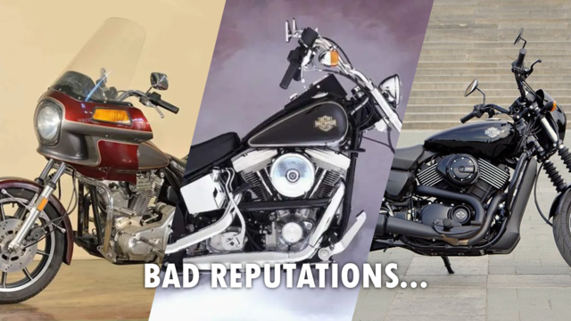
Slideshow: From the troubled AMF years to modern misfires, these bikes earned reputations for reliability issues, questionable engineering, or disappointing performance.
Crazy Bunderbike Build Looks Amazing, But Is It Impossible to Ride?
Slideshow: The Swiss custom shop has taken a Harley Softail and stretched it into something so long and low that it looks closer to a rolling sculpture than a conventional motorcycle.
Engraved Rebellion: Inside Bundnerbike's Glam Rock II
Slideshow: A standard cruiser becomes an intricate metal canvas in the hands of a Swiss custom house known for pushing Harley-Davidson platforms far beyond their factory brief.
Slideshow: Harley-Davidson's challenges aren't abstract; they show up in dropping shipments, shrinking dealer traffic, and strategic decisions that aren't yet translating into growth.